Chauvency-Saint-Hubert
| Chauvency-Saint-Hubert | ||
|---|---|---|

|
| |
| Staat | Frankreich | |
| Region | Grand Est | |
| Département (Nr.) | Meuse (55) | |
| Arrondissement | Verdun | |
| Kanton | Montmédy | |
| Gemeindeverband | Pays de Montmédy | |
| Koordinaten | 49° 32′ N, 5° 18′ O | |
| Höhe | 172–342 m | |
| Fläche | 10,81 km² | |
| Einwohner | 226 (1. Januar 2019) | |
| Bevölkerungsdichte | 21 Einw./km² | |
| Postleitzahl | 55600 | |
| INSEE-Code | 55110 | |
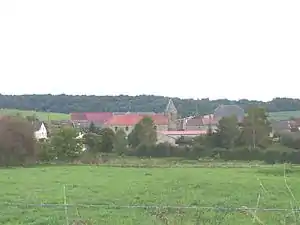 Ortsmitte | ||

Chauvency-Saint-Hubert ist eine französische Gemeinde mit 226 Einwohnern (Stand: 1. Januar 2019) im Département Meuse in der Region Grand Est (bis 2015 Lothringen). Sie gehört zum Arrondissement Verdun und ist Teil des Kantons Montmédy.
Geografie
Chauvency-Saint-Hubert liegt im Norden der Region Grand-Est nahe Chauvency-le-Château, unweit der Grenze zu Belgien.
Bevölkerungsentwicklung
| Jahr | 1962 | 1968 | 1975 | 1982 | 1990 | 1999 | 2006 | 2015 |
| Einwohner | 292 | 299 | 241 | 222 | 223 | 208 | 238 | 259 |
| Quelle: Cassini und INSEE | ||||||||
Sehenswürdigkeiten
- Kirche Saint-Hubert
Literatur
- Le Patrimoine des Communes de la Meuse. Flohic Editions, Band 2, Paris 1999, ISBN 2-84234-074-4, S. 672–674.
This article is issued from Wikipedia. The text is licensed under Creative Commons - Attribution - Sharealike. The authors of the article are listed here. Additional terms may apply for the media files, click on images to show image meta data.