Liste von Tälern in der Schweiz
Die Liste von Tälern in der Schweiz zeigt einen Überblick über die wichtigsten Täler der Schweiz, sortiert nach Kantonen.
Kanton Aargau
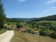
Möhlintal bei Zuzgen
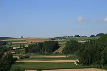
Das Surbtal zwischen Unterendingen und Tegerfelden
A
B
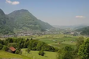
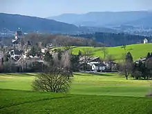
- Bünztal
F
J
L
M
R
S
W
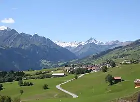
Kanton Bern
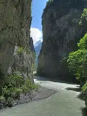
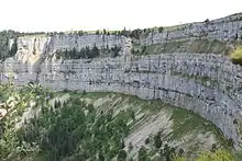
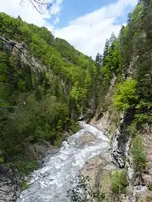
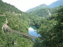
Die Aareschlucht bei Meiringen
.jpg.webp)
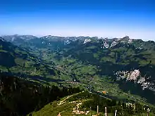
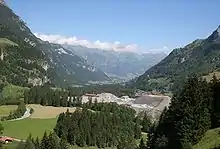
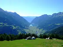
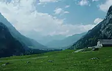
Das Kandertal.
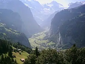
Lauterbrunnental von Wengen mit Staubbachfall
A
C
D
E
F
G
H
I
J
K
L
R
S
T
U
W
Z
Kanton Glarus
D
K
L
M
N
O
S
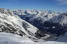
Kanton Graubünden
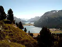
Das Engadin.
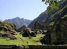
Val Lumnezia bei Vella
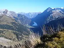
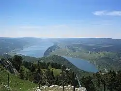
Puschlav südlich von Poschiavo.
Das Unterengadin.
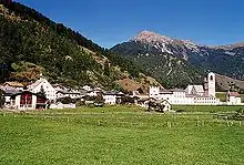
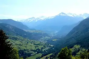
Ort Müstair, im Val Müstair.
A
- Albulatal
- Alpenrheintal
- Averstal
B
C
D
E
F
I
K
L
M
N
O
P
R
S
- Val S-charl
- Safiental
- Val Sampuoir (Ardez)
- Val Sampuoir (Valsot)
- Sapün
- Scaläratobel
- Schams
- Schanfigg
- Schinschlucht
- Val Sinestra
- Val da Spöl
- Steinbachtobel
- Val Strem
- Val da Stugl
- Val Sumvitg
- Surselva
- Val Susauna
T
U
V
W
Z
Kanton Neuenburg
C
P
V
Kanton St. Gallen
Die Linthebene.
Taminaschlucht bei Hochwasser im Mai 2013
A
B
C
G
- Galgentobel
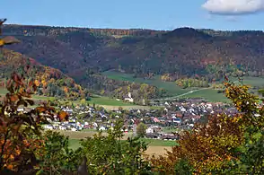
- Goldingertal
L
M
O
R
S
T
W
Kanton Schaffhausen
B
E
F
H
L
M
O
R
W
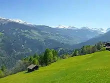
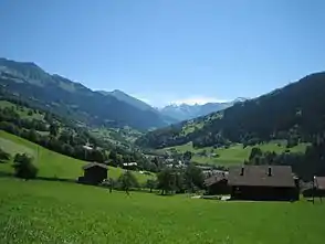
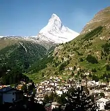
Kanton Wallis
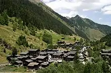
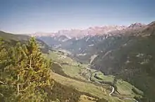
Schmidighischere im Binntal.
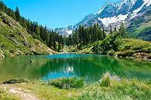
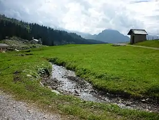
Schwarzsee im Lötschental.
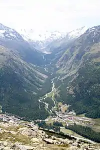
Das Saastal.
A
B
D
E
F
G
H
I
J
L
M
N
R
S
T
V
Z
Siehe auch
This article is issued from Wikipedia. The text is licensed under Creative Commons - Attribution - Sharealike. The authors of the article are listed here. Additional terms may apply for the media files, click on images to show image meta data.