Cimolais
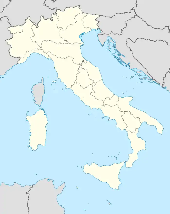
Die Gemeinde Cimolais liegt in Nordost-Italien in der Region Friaul-Julisch Venetien. Sie liegt nördlich von Pordenone und hat 355 Einwohner (Stand 31. Dezember 2019).
| Cimolais | ||
|---|---|---|
| ? |
| |
| Staat | Italien | |
| Region | Friaul-Julisch Venetien | |
| Koordinaten | 46° 17′ N, 12° 26′ O | |
| Höhe | 652 m s.l.m. | |
| Fläche | 101 km² | |
| Einwohner | 355 (31. Dez. 2019)[1] | |
| Postleitzahl | 33080 | |
| Vorwahl | 0427 | |
| ISTAT-Nummer | 093014 | |
| Volksbezeichnung | Cimoliani | |
| Schutzpatron | Beata Vergine Maria Assunta | |
| Website | Offizielle Seite | |
Die Gemeinde umfasst neben dem Hauptort Arba eine weitere Ortschaft: San Floriano (furlanisch: San Florean)
Die Gemeinde hat eine Fläche von 101 km². Nordwestlich von Cimolais befinden sich die beiden höchsten Berge der Friauler Dolomiten, Monte Duranno und Cima dei Preti.
Nachbargemeinden
Nachbargemeinden sind Claut, Domegge di Cadore (BL), Erto e Casso, Forni di Sopra, Perarolo di Cadore (BL) und Pieve di Cadore (BL).
Einzelnachweise
- Statistiche demografiche ISTAT. Monatliche Bevölkerungsstatistiken des Istituto Nazionale di Statistica, Stand 31. Dezember 2019.
This article is issued from Wikipedia. The text is licensed under Creative Commons - Attribution - Sharealike. The authors of the article are listed here. Additional terms may apply for the media files, click on images to show image meta data.


