Montrabot
Montrabot ist eine französische Gemeinde mit 92 Einwohnern (Stand 1. Januar 2019) im Département Manche in der Region Normandie. Sie gehört zum Kanton Condé-sur-Vire und zum Arrondissement Saint-Lô.
| Montrabot | ||
|---|---|---|
| ||
| Staat | Frankreich | |
| Region | Normandie | |
| Département (Nr.) | Manche (50) | |
| Arrondissement | Saint-Lô | |
| Kanton | Condé-sur-Vire | |
| Gemeindeverband | Saint-Lô Agglo | |
| Koordinaten | 49° 6′ N, 0° 53′ W | |
| Höhe | 77–191 m | |
| Fläche | 3,88 km² | |
| Einwohner | 92 (1. Januar 2019) | |
| Bevölkerungsdichte | 24 Einw./km² | |
| Postleitzahl | 50810 | |
| INSEE-Code | 50351 | |
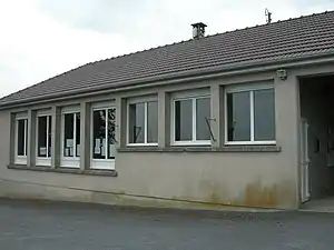 Mairie Montrabot | ||

Sie grenzt im Norden an Cormolain, im Osten an Sallen, im Süden an Saint-Jean-d’Elle mit Vidouville und Rouxeville und im Westen an Saint-Germain-d’Elle.
Bevölkerungsentwicklung
| Jahr | 1962 | 1968 | 1975 | 1982 | 1990 | 1999 | 2008 | 2018 |
|---|---|---|---|---|---|---|---|---|
| Einwohner | 116 | 109 | 106 | 86 | 88 | 87 | 84 | 88 |
.JPG.webp)
Kirche Saint-Martin
This article is issued from Wikipedia. The text is licensed under Creative Commons - Attribution - Sharealike. The authors of the article are listed here. Additional terms may apply for the media files, click on images to show image meta data.