Monteplain
Monteplain ist eine französische Gemeinde mit 132 Einwohnern (Stand 1. Januar 2019) im Département Jura in der Region Bourgogne-Franche-Comté. Sie gehört zum Arrondissement Dole und zum Kanton Mont-sous-Vaudrey. Die Bewohner nennen sich Monteplinois.
| Monteplain | ||
|---|---|---|
| ||
| Staat | Frankreich | |
| Region | Bourgogne-Franche-Comté | |
| Département (Nr.) | Jura (39) | |
| Arrondissement | Dole | |
| Kanton | Mont-sous-Vaudrey | |
| Gemeindeverband | Jura Nord | |
| Koordinaten | 47° 9′ N, 5° 43′ O | |
| Höhe | 210–258 m | |
| Fläche | 1,50 km² | |
| Einwohner | 132 (1. Januar 2019) | |
| Bevölkerungsdichte | 88 Einw./km² | |
| Postleitzahl | 39700 | |
| INSEE-Code | 39352 | |
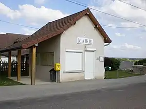 Mairie Monteplain | ||

Geografie
Monteplain grenzt im Westen an La Barre und ansonsten an Ranchot. Im Süden der Gemeinde verläuft der Fluss Doubs.
Bevölkerungsentwicklung
| Jahr | 1962 | 1968 | 1975 | 1982 | 1990 | 1999 | 2006 | 2018 | |
|---|---|---|---|---|---|---|---|---|---|
| Einwohner | 54 | 53 | 42 | 36 | 96 | 154 | 164 | 131 | |
| Quellen: Cassini und INSEE | |||||||||
Weblinks
Commons: Monteplain – Sammlung von Bildern
This article is issued from Wikipedia. The text is licensed under Creative Commons - Attribution - Sharealike. The authors of the article are listed here. Additional terms may apply for the media files, click on images to show image meta data.