Lurago d’Erba
Lurago d’Erba (bis 1863 einfach Lurago)[2] ist eine norditalienische Gemeinde (comune) mit 5482 Einwohnern (Stand 31. Dezember 2019) in der Provinz Como in der Lombardei.
| Lurago d’Erba | ||
|---|---|---|
| ? |
| |
| Staat | Italien | |
| Region | Lombardei | |
| Provinz | Como (CO) | |
| Lokale Bezeichnung | Lüragh | |
| Koordinaten | 45° 45′ N, 9° 13′ O | |
| Höhe | 351 m s.l.m. | |
| Fläche | 4,7 km² | |
| Einwohner | 5.482 (31. Dez. 2019)[1] | |
| Postleitzahl | 22040 | |
| Vorwahl | 031 | |
| ISTAT-Nummer | 013136 | |
| Volksbezeichnung | Luraghesi | |
| Schutzpatron | Johannes (27. Dezember), Rochus von Montpellier | |
| Website | Lurago d’Erba | |
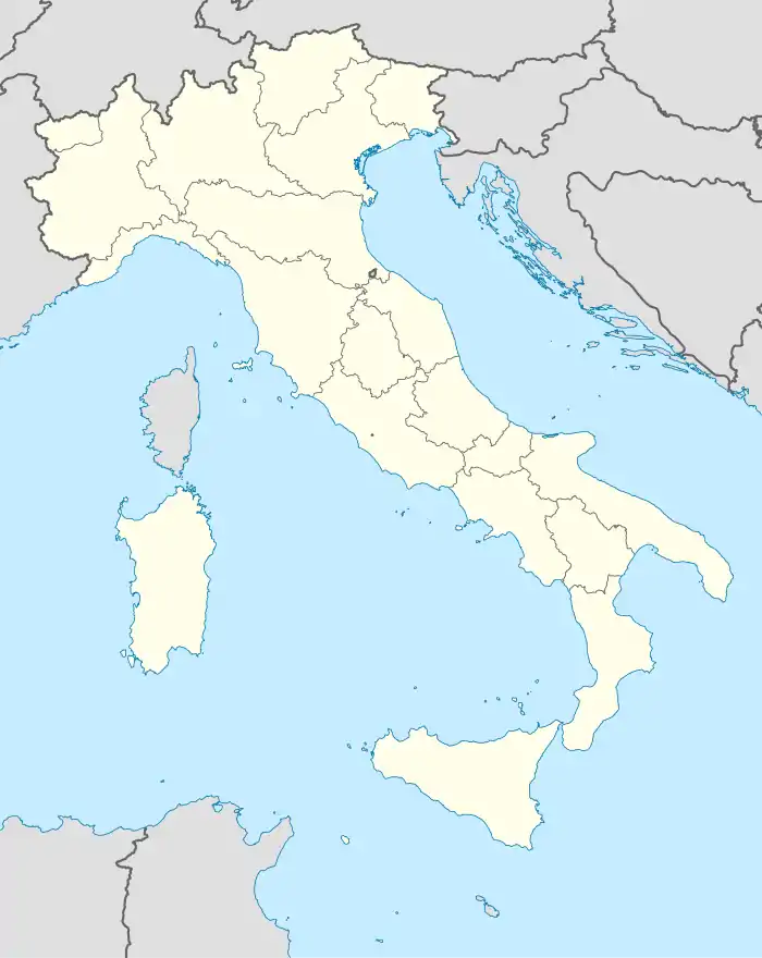
.svg.png.webp) Die Gemeinde Lurago d’Erba in der Provinz Como |
Geographie
Die Gemeinde liegt etwa 13 Kilometer ostsüdöstlich von Como und umfasst die Fraktionen: Calpuno, Careggia, Colciago, Piazza. Die Nachbargemeinden sind: Alzate Brianza, Anzano del Parco, Inverigo, Lambrugo, Merone und Monguzzo.
Verkehr
Durch die Gemeinde führt die frühere Staatsstraße 342 (heute eine Provinzstraße) von Bergamo nach Varese.
Sehenswürdigkeiten
Literatur
- Anna Ferrari-Bravo, Paola Colombini: Guida d'Italia. Lombardia (esclusa Milano). Milano 1987, S. 141.
- Lombardia – Touring club italiano, Touring Editore (1999), ISBN 88-365-1325-5, Lurago d’Erba Online
Weblinks
Commons: Lurago d'Erba – Sammlung von Bildern, Videos und Audiodateien
Einzelnachweise
- Statistiche demografiche ISTAT. Monatliche Bevölkerungsstatistiken des Istituto Nazionale di Statistica, Stand 31. Dezember 2019.
- Regio Decreto Nr. 1192 vom 8. Februar 1863. Abgerufen am 3. Juni 2021 (italienisch).
- Pfarrkirche San Giovanni Evangelista (Foto)
- Kirche Santo Stefano (Foto)
- Battistero (Foto)
- Villa Sormani (Foto)
This article is issued from Wikipedia. The text is licensed under Creative Commons - Attribution - Sharealike. The authors of the article are listed here. Additional terms may apply for the media files, click on images to show image meta data.


