Carugo
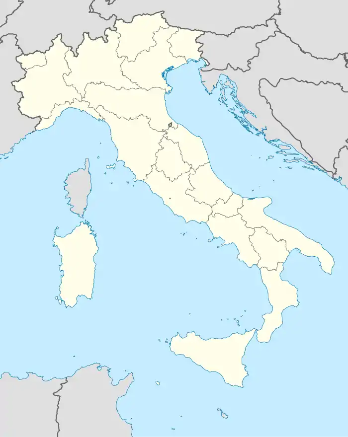
Carugo ist eine norditalienische Gemeinde (comune) mit 6649 Einwohnern (Stand 31. Dezember 2019) in der Provinz Como in der Lombardei.
| Carugo | ||
|---|---|---|
| ? |
| |
| Staat | Italien | |
| Region | Lombardei | |
| Provinz | Como (CO) | |
| Lokale Bezeichnung | Carüg | |
| Koordinaten | 45° 43′ N, 9° 12′ O | |
| Höhe | 270 m s.l.m. | |
| Fläche | 4,12 km² | |
| Einwohner | 6.649 (31. Dez. 2019)[1] | |
| Postleitzahl | 22060 | |
| Vorwahl | 031 | |
| ISTAT-Nummer | 013048 | |
| Volksbezeichnung | Carughesi | |
| Schutzpatron | Bartholomäus (24. August) | |
| Website | Carugo | |

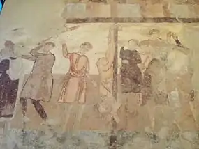
Kirche San Martino, mittelalterliche Fresken
Geographie
Die Gemeinde liegt etwa 14 Kilometer südöstlich von Como und grenzt unmittelbar an die Provinz Monza und Brianza. Im Gebiet von Carugo liegt die Fontana del Guercio, ein kleines Naturreservat. Carugo ist eingebettet zwischen den Flüssen Lambro und Terrò.
Verkehr
Seit 1879 besteht der Bahnhof an der Bahnstrecke Milano–Asso, über den auch die Nachbargemeinde Giussano bedient wird.
Sehenswürdigkeiten
Literatur
- Elena Alfani: Santi, supplizi e storia nella pittura murale lombarda del XII secolo: la cappella di San Martino a Carugo. Nuova Argos, Roma 2000.
- Fabio Scirea: San Martino di Carugo. In: Roberto Cassanelli, Paolo Piva (Hrsg.): LOMBARDIA ROMANICA PAESAGGI MONUMENTALI, Jaca Book, 2011, S. 57.
Einzelnachweise
- Statistiche demografiche ISTAT. Monatliche Bevölkerungsstatistiken des Istituto Nazionale di Statistica, Stand 31. Dezember 2019.
- Pfarrkirche San Bartolomeo (Foto)
- Romanische Kirche San Martino di Tours (Foto)
- Kirche Madonna di San Zeno (Foto)
- Mittelalterlicher Turm (Foto)
This article is issued from Wikipedia. The text is licensed under Creative Commons - Attribution - Sharealike. The authors of the article are listed here. Additional terms may apply for the media files, click on images to show image meta data.


