Daganzo de Arriba
Daganzo de Arriba ist eine zentralspanische Gemeinde (municipio) mit 10.205 Einwohnern (Stand: 1. Januar 2019) im Osten der Autonomen Gemeinschaft Madrid.
| Gemeinde Daganzo de Arriba | |||
|---|---|---|---|
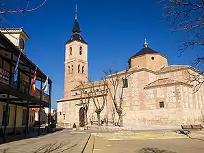
 Rathaus und Kirche | |||
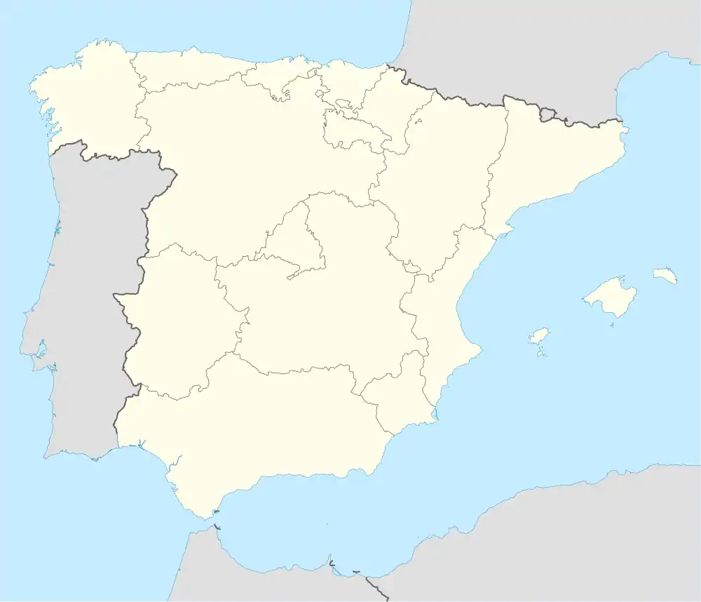
| Wappen | Karte von Spanien | ||
 |
| ||
| Basisdaten | |||
| Autonome Gemeinschaft: | Madrid | ||
| Provinz: | Madrid | ||
| Koordinaten | 40° 33′ N, 3° 27′ W | ||
| Höhe: | 673 msnm | ||
| Fläche: | 43,77 km² | ||
| Einwohner: | 10.205 (1. Jan. 2019)[1] | ||
| Bevölkerungsdichte: | 233,15 Einw./km² | ||
| Postleitzahl: | 28814 | ||
| Gemeindenummer (INE): | 28053 | ||
| Verwaltung | |||
| Website: | Daganzo de Arriba | ||
| Lage der Gemeinde | |||
_mapa.svg.png.webp) | |||
Lage
Sie liegt 27 km ost-nordöstlich von Madrid und 11 km nördlich von Alcalá de Henares. Sie grenzt an Ajalvir, Alcalá de Henares, Algete, Camarma de Esteruelas, Cobeña, Fresno de Torote, Torrejón de Ardo und Valdeolmos-Alalpardo.
Bevölkerungsentwicklung
| 1842 | 1900 | 1950 | 1981 | 1991 | 2001 | 2011 |
|---|---|---|---|---|---|---|
| 954 | 662 | 663 | 1068 | 1627 | 4755 | 9472 |
Weblinks
Commons: Daganzo de Arriba – Sammlung von Bildern, Videos und Audiodateien
Einzelnachweise
- Cifras oficiales de población resultantes de la revisión del Padrón municipal a 1 de enero. Bevölkerungsstatistiken des Instituto Nacional de Estadística (Bevölkerungsfortschreibung).
This article is issued from Wikipedia. The text is licensed under Creative Commons - Attribution - Sharealike. The authors of the article are listed here. Additional terms may apply for the media files, click on images to show image meta data.
