Salillas
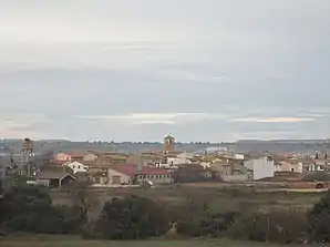
Salillas ist eine nordspanische Gemeinde (municipio) mit 94 Einwohnern (Stand 1. Januar 2019) im Zentrum der Provinz Huesca in der Autonomen Region Aragonien.
| Gemeinde Salillas | |||
|---|---|---|---|
 Blick auf Salillas | |||
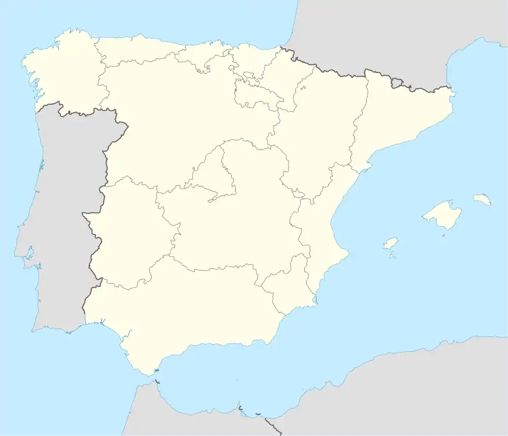
| Wappen | Karte von Spanien | ||
| ? Hilfe zu Wappen |
| ||
| Basisdaten | |||
| Autonome Gemeinschaft: | Aragonien | ||
| Provinz: | Huesca | ||
| Comarca: | Hoya de Huesca | ||
| Koordinaten | 42° 0′ N, 0° 13′ W | ||
| Höhe: | 420 msnm | ||
| Fläche: | 28,33 km² | ||
| Einwohner: | 94 (1. Jan. 2019)[1] | ||
| Bevölkerungsdichte: | 3,32 Einw./km² | ||
| Postleitzahl: | 22110 | ||
| Gemeindenummer (INE): | 22203 | ||
| Verwaltung | |||
| Website: | Salillas | ||
Lage und Klima
Der Ort Salillas liegt etwa 25 Kilometer (Fahrtstrecke) südöstlich des Stadtzentrums von Huesca am Guatizalema in einer Höhe von etwa 420 m. Durch die Gemeinde führt der Canal de Cinca. Das Klima ist gemäßigt und relativ trocken; Regen (ca. 395 mm/Jahr) fällt übers Jahr verteilt.
Bevölkerungsentwicklung
| 1900 | 1910 | 1930 | 1940 | 1950 | 1970 | 1981 | 1991 | 2001 | 2011 | 2020 |
|---|---|---|---|---|---|---|---|---|---|---|
| 364 | 395 | 350 | 357 | 319 | 191 | 173 | 126 | 115 | 106 | 91 |
Sehenswürdigkeiten
- Kirche St. Anna (Iglesia de Santa Ana)
- Einsiedelei von St. Philipp aus dem Jahre 1717
- maurischer Eiskeller
 Kirche St. Anna
Weblinks
Commons: Salillas – Sammlung von Bildern, Videos und Audiodateien
Einzelnachweise
- Cifras oficiales de población resultantes de la revisión del Padrón municipal a 1 de enero. Bevölkerungsstatistiken des Instituto Nacional de Estadística (Bevölkerungsfortschreibung).
This article is issued from Wikipedia. The text is licensed under Creative Commons - Attribution - Sharealike. The authors of the article are listed here. Additional terms may apply for the media files, click on images to show image meta data.


