Pokotyliwka
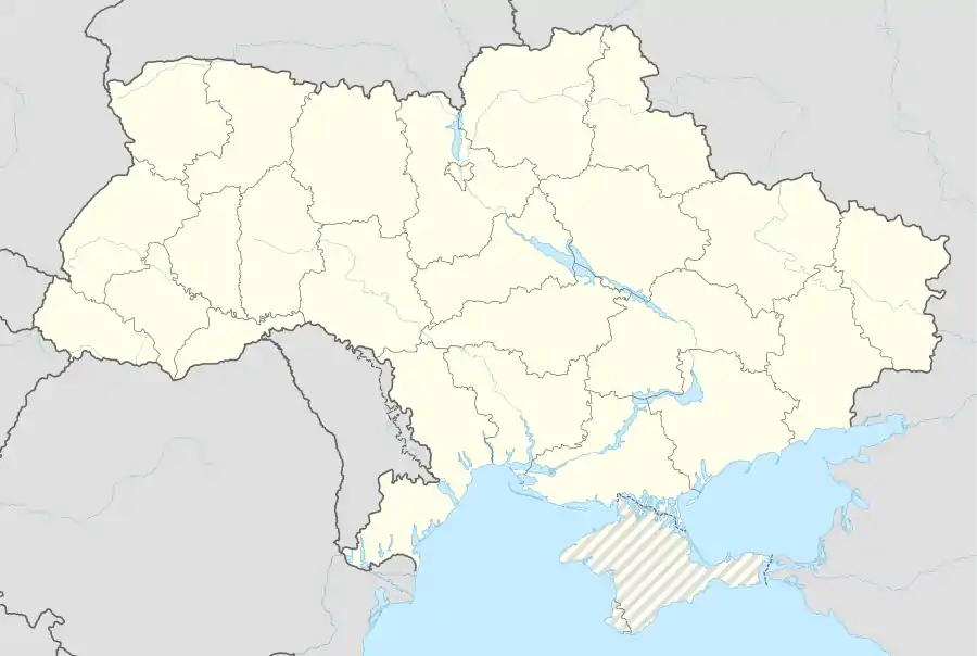
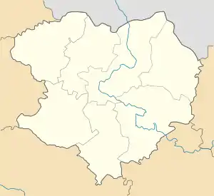
Pokotyliwka (ukrainisch Покотилівка; russisch Покотиловка Pokotilowka) ist eine Siedlung städtischen Typs in der ukrainischen Oblast Charkiw mit etwa 9.500 Einwohnern (2019).[1]
| Pokotyliwka | |||
| Покотилівка | |||
 |
| ||
| Basisdaten | |||
|---|---|---|---|
| Oblast: | Oblast Charkiw | ||
| Rajon: | Rajon Charkiw | ||
| Höhe: | 103 m | ||
| Fläche: | 4,22 km² | ||
| Einwohner: | 9.462 (2019) | ||
| Bevölkerungsdichte: | 2.242 Einwohner je km² | ||
| Postleitzahlen: | 62458 | ||
| Vorwahl: | +380 57 | ||
| Geographische Lage: | 49° 55′ N, 36° 11′ O | ||
| KOATUU: | 6325158200 | ||
| Verwaltungsgliederung: | 1 Siedlung städtischen Typs, 2 Siedlungen | ||
| Adresse: | вул. Інтернаціональна 3 62458 смт. Покотилівка | ||
| Website: | http://pokotilovka.ucoz.ru/ | ||
| Statistische Informationen | |||
| |||
Pokotyliwka erhielt 1938 den Status einer Siedlung städtischen Typs.
Geographie
Pokotyliwka liegt im Rajon Charkiw an der Fernstraße M 18 und grenzt an das Stadtgebiet vom Oblastzentrum Charkiw, dessen Zentrum 15 km nördlich der Ortschaft liegt.
Einzelnachweise
- Demographie ukrainischer Städte auf pop-stat.mashke.org; abgerufen am 31. August 2019
Balaklija | Barwinkowe | Bohoduchiw | Charkiw | Derhatschi | Isjum | Krasnohrad | Kupjansk | Losowa | Ljubotyn | Merefa | Perwomajskyj | Piwdenne | Smijiw | Tschuhujiw | Walky | Wowtschansk
Siedlungen städtischen Typs
Andrijiwka |
Babaji |
Besljudiwka |
Beresiwka |
Bilyj Kolodjas |
Birky |
Blysnjuky |
Borowa |
Budy |
Choroschewe |
Donez |
Dworitschna |
Huty |
Eschar |
Kehytschiwka |
Kiwschariwka |
Kowjahy |
Kosatscha Lopan |
Kolomak |
Korotytsch |
Kostjantyniwka |
Kotschetok |
Krasnokutsk |
Krasnopawliwka |
Kulynytschi |
Kupjansk-Wuslowyj |
Mala Danyliwka |
Malyniwka |
Mantschenky |
Nowa Wodolaha |
Nowopokrowka |
Orilka |
Panjutyne |
Peresitschne |
Petschenihy |
Pissotschyn |
Pokotyliwka |
Prudjanka |
Prykolotne |
Rohan |
Sachnowschtschyna |
Satschepyliwka |
Sawynzi |
Schariwka |
Schewtschenkowe |
Sidky |
Slatyne |
Sloboschanske |
Sloboschanske |
Solonyziwka |
Solotschiw |
Staryj Mertschyk |
Staryj Saltiw |
Tschkalowske |
Utkiwka |
Wassyschtschewe |
Wwedenka |
Welykyj Burluk |
Wiltscha |
Wilschany |
Wyssokyj