Col de la Croix (Jura)
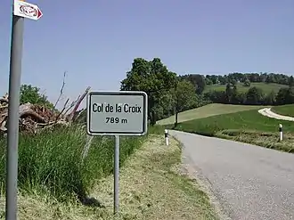
Der Col de la Croix ist ein Pass im Schweizer Kanton Jura. Er befindet sich zwischen den Orten Saint-Ursanne und Courgenay; die Passhöhe liegt auf 789 m ü. M.
| Col de la Croix (JU) | |||
|---|---|---|---|
 Col de la Croix (JU) Col de la Croix (JU) | |||
| Himmelsrichtung | Nord | Süd | |
| Passhöhe | 789 m ü. M. | ||
| Kanton | Jura | ||
| Talorte | Courgenay | Saint-Ursanne | |
| Ausbau | Strasse | ||
| Erbaut | ? | ||
| Sperre | - | ||
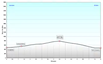
| Profil | |||
| Ø-Steigung | 6,6 % (299 m / 4,5 km) | 9,3 % (325 m / 3,5 km) | |
| Max. Steigung | 9 % | 9 % | |
 | |||
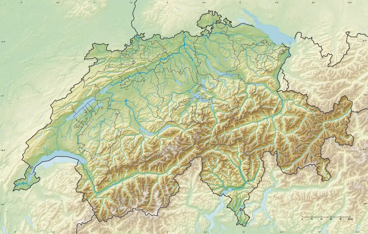
| Karte (Schweiz) | |||
| |||
| Koordinaten | 577555 / 246930 | ||
Weblinks
Ächerli • Agites • Aiguillon • Albis • Albula • Balmberg • Benkerjoch • Bernina • Böhler • Bözberg • Breitehöchi • Brünig • Buechenegg • Bürersteig • Chall • Challhöchi • Champex • Chasseral • Chatzenstrick • Chilchzimmersattel • Croix • Croix • Croix de Coeur • Eichhöhe • Étroits • Etzelpass • Flüela • Forclaz • Furka • Ghöch • Givrine • Glas • Glaubenberg • Glaubenbielen • Gottschalkenberg • Grimsel • Grosse Scheidegg • Grosser St. Bernhard • Gurnigel • Haggenegg • Hahnenmoos • Heitersberg • Hilferen • Hirzel • Hirzel Höhi • Hulftegg • Ibergeregg • Jaman • Jaun • Julier • Kerenzerberg • Klausen • Kunkels • Lein • Lenzerheide • Livigno • Lukmanier • Maloja • Marchairuz • Mollendruz • Mont Crosin • Monte Ceneri • Mont d'Orzeires • Montvoie • Morgins • Mosses • Mutschellen • Neggia • Nufenen • Oberalp • Oberer Hauenstein • Oberricken • Ofen • Orn • Passwang • Pierre Pertuis • Pillon • Planches • Pontins • Pragel • Randenüberfahrt • Rangiers • Raten • Rengg • Ricken • Roches • Ruppen • Rüsler • Saanenmöser • Salhöhe • San Bernardino • Sanetsch • Santelhöchi • Sattel • Sattelegg • Schafmatt • Schallenberg • Schelten • Schönau • Schufelberger Egg • Schwägalp • Schwarzenbühl • Siblingerhöhe • Simplon • Splügen • St. Anton • St. Gotthard • St. Luzisteig • Staffelegg • Stoss • Susten • Tourne • Tronc • Umbrail • Unterer Hauenstein • Vorder Höhi • Vue des Alpes • Wasserfluh • Weissenstein • Wildhaus • Wissegg • Wolfgang