Prádanos de Bureba
Prádanos de Bureba ist eine historisch bedeutsame Kleinstadt und eine Gemeinde (municipio) mit 55 Einwohnern (Stand 1. Januar 2019) in der nordspanischen Provinz Burgos in der Autonomen Gemeinschaft Kastilien und León.
| Gemeinde Prádanos de Bureba | |||
|---|---|---|---|
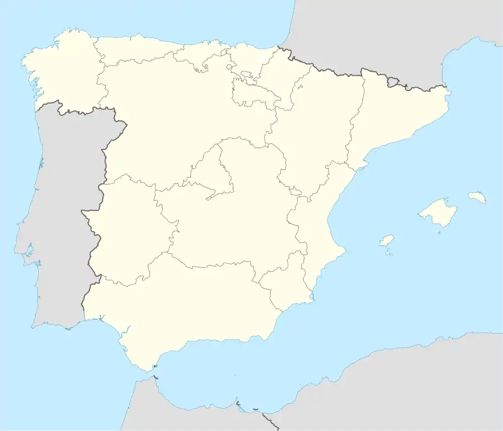
| Wappen | Karte von Spanien | ||
 |
| ||
| Basisdaten | |||
| Autonome Gemeinschaft: | |||
| Provinz: | Burgos | ||
| Comarca: | La Bureba | ||
| Koordinaten | 42° 30′ N, 3° 21′ W | ||
| Höhe: | 765 msnm | ||
| Fläche: | 10,79 km² | ||
| Einwohner: | 55 (1. Jan. 2019)[1] | ||
| Bevölkerungsdichte: | 5,1 Einw./km² | ||
| Postleitzahl: | 09248 | ||
| Gemeindenummer (INE): | 09273 | ||
| Verwaltung | |||
| Website: | Prádanos de Bureba | ||
Lage und Klima
Prádanos de Bureba liegt auf dem Ostufer des Río Oca in einer Höhe von ca. 765 m. Burgos liegt etwa 35 km in südwestlicher Richtung entfernt. Durch die Gemeinde führt die Autopista AP-1. Das Klima ist gemäßigt bis warm; der für spanische Verhältnisse reichliche Regen (ca. 780 mm/Jahr) fällt – mit Ausnahme der eher trockenen Sommermonate – übers Jahr verteilt.[2]
Bevölkerungsentwicklung
| Jahr | 1930 | 1940 | 1950 | 1960 | 1970 | 1981 | 1991 | 2001 | 2011 | 2021 |
| Einwohner | 263 | 253 | 222 | 196 | 153 | 103 | 89 | 54 | 57 | 56[3] |
Sehenswürdigkeiten
- Euphemia-Kirche (Iglesia de Santa Eufemia)
 Iglesia de Santa Eufemia
Weblinks
Commons: Prádanos de Bureba – Sammlung von Bildern, Videos und Audiodateien
Einzelnachweise
- Cifras oficiales de población resultantes de la revisión del Padrón municipal a 1 de enero. Bevölkerungsstatistiken des Instituto Nacional de Estadística (Bevölkerungsfortschreibung).
- Prádanos de Bureba – Klimatabellen
- Prádanos de Bureba – Bevölkerungsentwicklung
This article is issued from Wikipedia. The text is licensed under Creative Commons - Attribution - Sharealike. The authors of the article are listed here. Additional terms may apply for the media files, click on images to show image meta data.
