Merindad de Montija
Merindad de Montija ist eine spanische Gemeinde (municipio) mit 725 Einwohnern (Stand: 1. Januar 2019) im Norden der Provinz Burgos der Autonomen Region Kastilien-León. Zur Gemeinde gehören die Ortschaften Agüera, Baranda, Bárcena de Pienza, Barcenillas del Rivero, Bercedo, Cuestahedo, Gayangos, Edesa, Loma de Montija, Montecillo, Noceco, Quintanahedo, Quintanilla de Pienza, Quintanilla Sopeña, Revilla de Pienza, San Pelayo, Villalázara und Villasante. Der Verwaltungssitz der Gemeinde befindet sich in Villasante.
| Gemeinde Merindad de Montija | |||
|---|---|---|---|
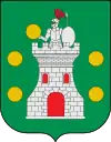
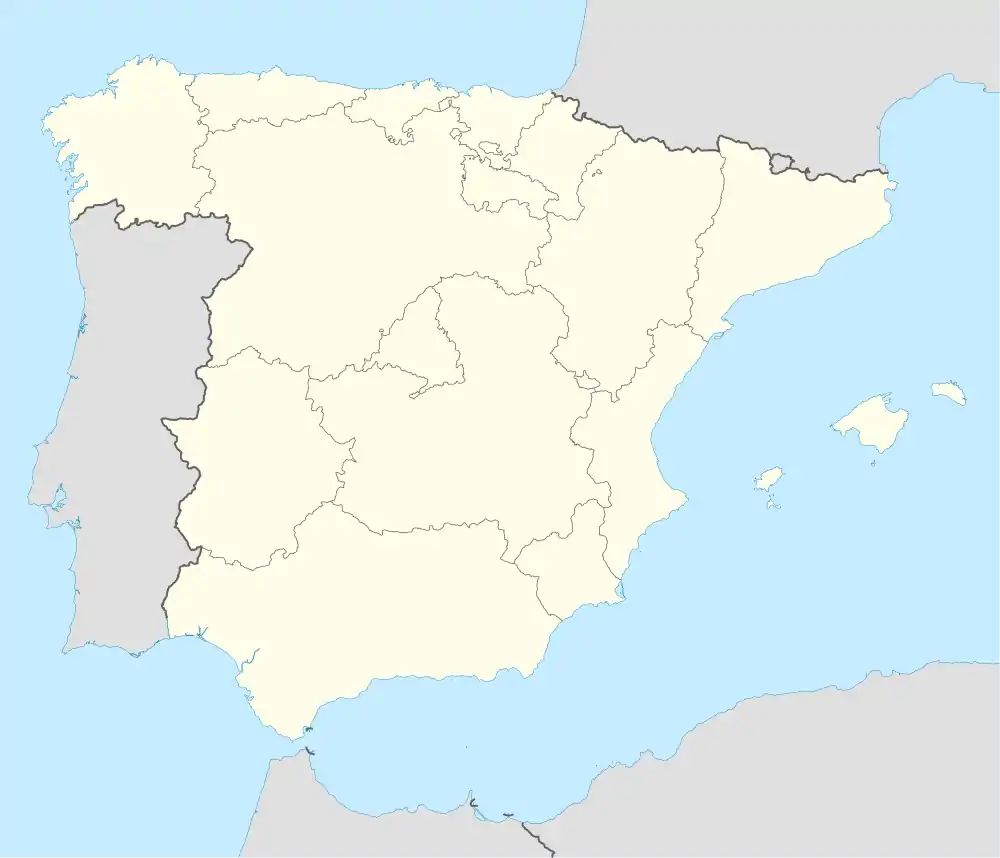
| Wappen | Karte von Spanien | ||
 |
| ||
| Basisdaten | |||
| Autonome Gemeinschaft: | Kastilien-León | ||
| Provinz: | Burgos | ||
| Comarca: | Las Merindades | ||
| Koordinaten | 43° 4′ N, 3° 28′ W | ||
| Höhe: | 708 msnm | ||
| Fläche: | 100,07 km² | ||
| Einwohner: | 725 (1. Jan. 2019)[1] | ||
| Bevölkerungsdichte: | 7,24 Einw./km² | ||
| Postleitzahl: | 09569 | ||
| Gemeindenummer (INE): | 09214 | ||
| Verwaltung | |||
| Bürgermeister: | Florencio Martínez López (PP) | ||
| Website: | www.merindaddemontija.es | ||
Lage
Die Gemeinde liegt etwa 80 Kilometer nordnordöstlich der Provinzhauptstadt Burgos. Durch die Gemeinde fließt der Río Trueba, in den bei Barcenillas del Rivero der Río Cerneja mündet.
Sehenswürdigkeiten
- Kirche San Isodoro in Villasante
- romanische Kirche San Miguel Arcangel in Bercedo
- Kirche El Salvador in Baranda
- romanische Einsiedelei in Bárcena de Pienza
 Kirche El Salvador
 Kirche San Miguel Arcangel
Weblinks
Commons: Merindad de Montija – Sammlung von Bildern, Videos und Audiodateien
Einzelnachweise
- Cifras oficiales de población resultantes de la revisión del Padrón municipal a 1 de enero. Bevölkerungsstatistiken des Instituto Nacional de Estadística (Bevölkerungsfortschreibung).
This article is issued from Wikipedia. The text is licensed under Creative Commons - Attribution - Sharealike. The authors of the article are listed here. Additional terms may apply for the media files, click on images to show image meta data.
