Liste der Geotope im Landkreis Leer
Die Liste der Geotope im Landkreis Leer nennt die Geotope im Landkreis Leer in Niedersachsen. Einige dieser Geotope stehen zugleich als Naturdenkmal (ND), Landschaftsschutzgebiet (LSG), Naturschutzgebiet (NSG) oder Teil von diesen unter Schutz.
| Geotop-Nr. | Bezeichnung | Ort | Bemerkung | Koordinaten | Bild |
|---|---|---|---|---|---|
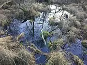
| 2306/02 | Greune Stee | Borkum | Geotoptyp: Insel-Anlandungsgebiet. Größe 330 ha. Im Landschaftsschutzgebiet LSG-LER 10. | 53° 34′ 22,8″ N, 6° 42′ 21,6″ O |  weitere Bilder |
| 2611/04 | Findling | in Bagband, E-Kirche in Straßeninsel (stand früher Hartog Hinnerksteen), 400 m NW an Straßenkreuzung. | Geotoptyp: Findling. Länge 0,5 m, Breite 0,3 m, Höhe 0,2 m. Stratigraphie: Quartär-Pleistozän, Saale-Kaltzeit. Petrographie: Granit. | 53° 21′ 10,8″ N, 7° 36′ 39,6″ O | |
| 2612/01 | Findling | in Hinrichsfehn, Friedhof S-Teil. | Geotoptyp: Findling. Ellipsoide Form. Länge 2,5 m, Breite 2 m, Höhe 1,1 m. Stratigraphie: Quartär-Pleistozän, Saale-Kaltzeit. Petrographie: Rapakiwi, rötlich mit Feldspatovoiden von durchschnittlich 1–2 cm Durchmesser, max. 8 cm Durchmesser. | 53° 22′ 24,6″ N, 7° 44′ 2,4″ O | |
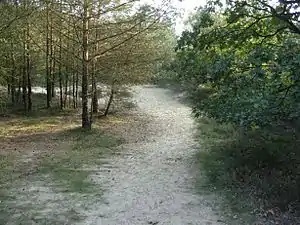
| 2612/03 | NSG „Holle Sand“ (Dünengebiet) | ca. 1,5 km NW Großoldendorf. | Geotoptyp: Dünenlandschaft. Größe 126,3 ha. Naturschutzgebiet NSG AU 9; NSG-WE 105 "Holle Sand". | 53° 20′ 12,8″ N, 7° 43′ 10,9″ O |  weitere Bilder |
| 2709/02 | Flachmoorsee mit verschiedenen Verlandungsstadien | 1 km E Bunderhee, 700 m W Sankt Georgswold. | Geotoptyp: See, Flachmoor. Form fast rund, Durchmesser ca. 100 m. Stratigraphie: Quartär-Küstenholozän. Naturschutzgebiet NSG Au 26. | 53° 12′ 43,9″ N, 7° 18′ 44,6″ O | |
Siehe auch
Weblinks
Commons: Geotope im Landkreis Leer – Sammlung von Bildern, Videos und Audiodateien
This article is issued from Wikipedia. The text is licensed under Creative Commons - Attribution - Sharealike. The authors of the article are listed here. Additional terms may apply for the media files, click on images to show image meta data.