Liste der Landschaftsschutzgebiete im Landkreis Oldenburg
Die Liste der Landschaftsschutzgebiete im Landkreis Oldenburg enthält die Landschaftsschutzgebiete des Landkreises Oldenburg in Niedersachsen.
| Bild | Nummer | Bezeichnung des Gebietes | Fläche in Hektar | WDPA-ID | Koordinaten[1] | Datum der Verordnung |
|---|---|---|---|---|---|---|
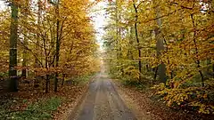 Der Linteler Kirchweg im Reiherholz |
LSG OL 00001 | Reiherholz | 341,80 | 323786 | Position | 1976 |
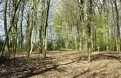 Kleiner Baumhof |
LSG OL 00002 | Großer und kleiner Baumhof | 21,60 | 321192 | Position | 1976 |
| LSG OL 00003 | Küstereigarten (Goldberg) | 10,20 | 322380 | Position | 1976 | |
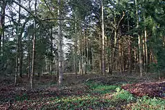 Blick ins LSG im Januar 2016 |
LSG OL 00004 | Feldmoor, Hurreler Sand, Klaushau | 290,00 | 320777 | Position | 1976 |
| LSG OL 00005 | Tal des Kimmer Baches zwischen Kneifzange und Wendenkamp | 108,40 | 324993 | Position | 1976 | |
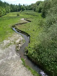 Die Jagdhüttenwiese im Staatsforst Hasbruch |
LSG OL 00007 | Staatsforst Hasbruch | 253,70 | 324749 | Position | 1976 |
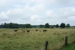 Huntetal nördlich bei Colnrade |
LSG OL 00008 | Huntetal | 561,10 | 321853 | Position | 1971 |
| LSG OL 00009 | Brookdeich mit Braken | 19,00 | 320109 | Position | 1976 | |
| LSG OL 00010 | Hemmelsberger Fuhrenkamp | 108,40 | 321543 | Position | 1976 | |
| LSG OL 00011 | Alte Hunte | 7,90 | 319514 | Position | 1976 | |
| LSG OL 00012 | Kirche in Holle | 0,80 | 322134 | Position | 1976 | |
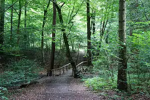 Weg durch das Stenumer Holz |
LSG OL 00013 | Stenumer Holz | 166,40 | 324840 | Position | 1976 |
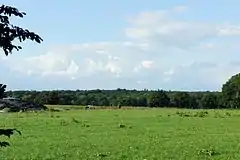 LSG Steenhafe |
LSG OL 00014 | Steenhafe | 52,00 | 324790 | Position | 1976 |
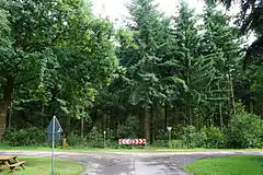 Der Bürsteler Fuhren im Juli 2015 |
LSG OL 00016 | Bürsteler Fuhren | 60,80 | 320223 | Position | 1976 |
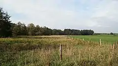 Blick ins südliche Delmetal |
LSG OL 00017 | Südliches Delmetal | 2,10 | 324917 | Position | 1976 |
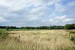 Blick ins Delmetal |
LSG OL 00018 | Delmetal | 229,90 | 320311 | Position | 1976 |
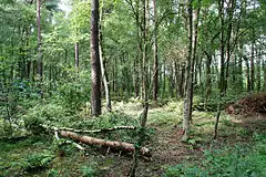 Blick ins Moor im Juli 2015 |
LSG OL 00019 | Das Moor | 85,00 | 320282 | Position | 1976 |
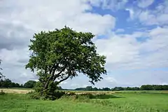 Blick nördlich des Stühe in das Welsetal |
LSG OL 00020 | Welsetal und Stühe | 1245,80 | 325758 | Position | 1976 |
| LSG OL 00021 | Kirche in Schönemoor | 2,80 | 322135 | Position | 1976 | |
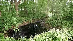 Brookdeich im Mai 2018 |
LSG OL 00022 | Brookdeich | 0,40 | 320108 | Position | 1976 |
| LSG OL 00023 | Hof Kämena | 1,00 | 321668 | Position | 1976 | |
| LSG OL 00024 | Gehölz südlich der K 229 | 3,60 | 321027 | Position | 1976 | |
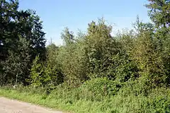 Birkenbusch im Oktober 2015 |
LSG OL 00025 | Birkenbusch | 50,60 | 319952 | Position | 1976 |
| LSG OL 00026 | Waldlandschaft zwischen Ostrittrum und Dötlingen und Staatsforst Wehe | 1022,60 | 325630 | Position | 1976 | |
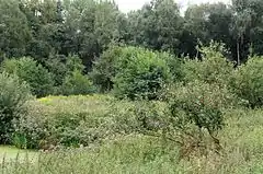 Blick ins Tal im September 2016 |
LSG OL 00027 | Tal des Altonaer Mühlenbaches und Bauernschaft Busch | 177,80 | 324989 | Position | 1976 |
| LSG OL 00028 | Umgebung des Brettorfer Schlatts | 86,10 | 325285 | Position | 1976 | |
| LSG OL 00029 | Pestruper Heide und Lehmkuhle | 301,40 | 323659 | Position | 1976 | |
| LSG OL 00030 | Tal des Lohmühlenbaches | 78,00 | 324996 | Position | 1976 | |
| LSG OL 00031 | Denghauser Mühlbach | 39,20 | 320314 | Position | 1976 | |
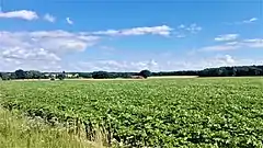 |
LSG OL 00032 | Harpstedter Geest II | 2662,40 | 321392 | Position | 1973 |
| LSG OL 00033 | Rennplatz an der Flachsbäke | 9,70 | 323813 | Position | 1976 | |
| LSG OL 00034 | Auetal, Holzhauser Heide, Steinhorst, Ahlhorner Heide | 1644,20 | 319702 | Position | 1976 | |
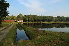 |
LSG OL 00035 | Ahlhorner Fischteiche, Sager Heide | 1230,00 | 319456 | Position | 1976 |
| LSG OL 00036 | Sager Schweiz | 148,20 | 324066 | Position | 1976 | |
| LSG OL 00037 | Hegeler Wald, Döhler Wehe, Kahleberg, Scharpenberg | 832,90 | 321496 | Position | 1976 | |
| LSG OL 00038 | Großes Moor | 274,60 | 321203 | Position | 1976 | |
| LSG OL 00039 | Hespenbusch | 113,70 | 321585 | Position | 1976 | |
| LSG OL 00040 | Tal der Heinefelder Bäke, Engelsches Moor, Hageler Höhe, Ahlhorner Moor | 811,90 | 324984 | Position | 1976 | |
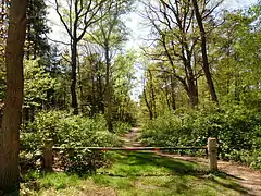 Neu-Osenberge mit Tierabschiedswald |
LSG OL 00041 | Neu-Osenberge | 80,80 | 323203 | Position | 1976 |
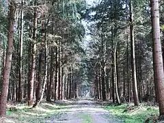 Staatsforst Alt-Osenberge |
LSG OL 00042 | Staatsforst Alt-Osenberge, Wunderhorn, Oldenburger Sand, Tannersand mit Randgebieten | 887,60 | 324746 | Position | 1976 |
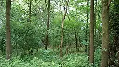 Blick in die Korte Heide |
LSG OL 00045 | Korte Heide | 11,20 | 322286 | Position | 1976 |
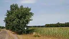 Geer Moor im Juli 2018 |
LSG OL 00046 | Geer Moor | 14,80 | 321012 | Position | 1976 |
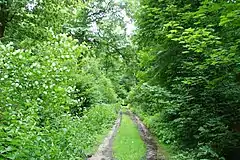 Weg im Hatter Holz |
LSG OL 00047 | Dingsteder Gehäge, Twiestholz, Hatter Holz | 332,80 | 320372 | Position | 1976 |
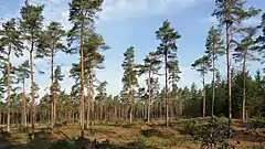 Bookholt im September 2018 |
LSG OL 00048 | Bookholt, Plietenberger Moor | 224,10 | 320028 | Position | 1976 |
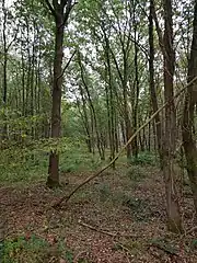 Oberlether Fuhrenkamp, Oktober 2020 |
LSG OL 00049 | Oberlether Fuhrenkamp | 48,40 | 323411 | Position | 1976 |
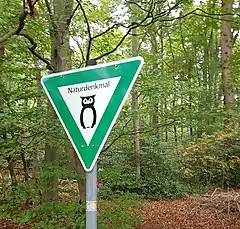 Staatsforst Hoop, Oktober 2020 |
LSG OL 00050 | Staatsforst Hoop | 4,80 | Position | 1976 | |
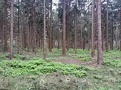 Staatsforst Litteler Fuhrenkamp, Mai 2015 |
LSG OL 00051 | Staatsforst Litteler Fuhrenkamp | 282,80 | 324751 | Position | 1976 |
| LSG OL 00052 | Sandberg (südwestlich von Höven) | 4,80 | 324080 | Position | 1976 | |
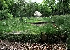 |
LSG OL 00053 | Tillyhügel und Umgebung | 27,40 | 325177 | Position | 1976 |
| LSG OL 00055 | Lethe-Tal und Staatsforst Tüdick | 928,70 | 322582 | Position | 1976 | |
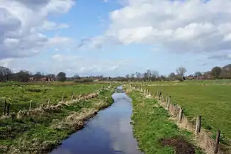 Der Dünsener Bach bei Groß Ippener |
LSG OL 00058 | Dünsener Bach - Steller Heide | 335,00 | 320474 | Position | 1972 |
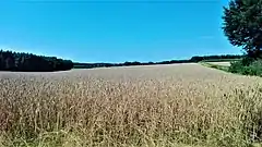 |
LSG OL 00059 | Hombach-Finkenbach-Klosterbach | 171,00 | 321749 | Position | 1967 |
| LSG OL 00060 | Dehmse | 745,60 | 320295 | Position | 1970 | |
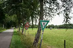 Blick ins Landschaftsschutzgebiet |
LSG OL 00061 | Neuenlander Moor | 120,00 | 323185 | Position | 1976 |
| LSG OL 00062 | Alte Lethe - Tungeln | 18,00 | 319517 | Position | 2002 | |
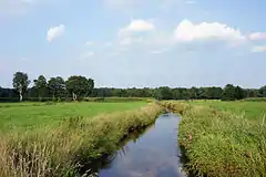 Das Delmetal nördlich der Großen Höhe |
LSG OL 00063 | Delmetal zwischen Harpstedt und Delmenhorst | 440,00 | 555547224 | Position | 2011 |
| LSG OL 00065 | Welgenmarsch | 136,40 | 555552632 | Position | 2012 | |
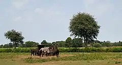 Das Hohenbökener Moor am Torfweg |
LSG OL 00066 | Hohenbökener Moor | 555632917 | Position | 2016 | |
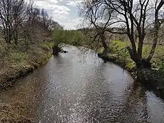 Mittlere Hunte bei Dötlingen, April 2020 |
LSG OL 00141 | Mittlere Hunte | 4879,80 | 322986 | Position | 1976 |
Anmerkungen
- Koordinaten wurden dem European Nature Information System (EUNIS) der Europäischen Umweltagentur entnommen: Nationally designated areas (CDDA), Datei CDDA_v12_csv.zip, Stand Oktober 2014. Die Tabellenspalte WDPA-ID gibt die genauen Grenzen an.
Siehe auch
Weblinks
Commons: Landschaftsschutzgebiete im Landkreis Oldenburg – Sammlung von Bildern, Videos und Audiodateien
This article is issued from Wikipedia. The text is licensed under Creative Commons - Attribution - Sharealike. The authors of the article are listed here. Additional terms may apply for the media files, click on images to show image meta data.