Liste der Landschaftsschutzgebiete im Landkreis Vechta
Die Liste der Landschaftsschutzgebiete im Landkreis Vechta enthält die Landschaftsschutzgebiete des Landkreises Vechta in Niedersachsen.
| Bild | Nummer | Bezeichnung des Gebietes | Fläche in Hektar | WDPA-ID | Koordinaten[1] | Datum der Verordnung |
|---|---|---|---|---|---|---|
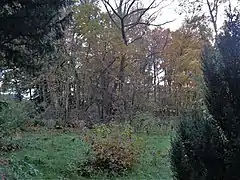
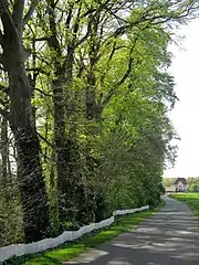
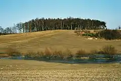 |
LSG VEC 00001 | Dammer Berge | 5567,30 | 320272 | Position | 2018[2] |
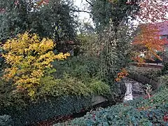
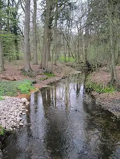 |
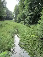
LSG VEC 00002 | Endeler- und Langenheide mit den Tälern der Engelmannsbäke, Twillbäke, Schaarenbäke und Aue | 979,60 | 320640 | Position | 1980 |
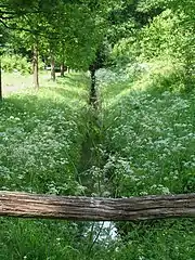
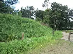 |
LSG VEC 00003 | Freesenholz, Stubbenkamp, Wetschenholz, Holtershagen, Buchholz, Breitenbruch, Herrenholz, Arkeburg und Buchhorst | 1999,40 | 320868 | Position | 1980 |
| LSG VEC 00004 | Kühling'sches Holz | 80,90 | 322355 | Position | 1980 | |
| LSG VEC 00005 | Rechterfelder Bruchbachtal | 12,70 | 323763 | Position | 1980 | |
| LSG VEC 00006 | Tal des Denghauser Mühlenbaches | 61,70 | 324990 | Position | 1980 | |
| LSG VEC 00007 | Tal der Brok- und Ellenbäke | 59,10 | 324981 | Position | 1980 | |
| LSG VEC 00008 | Apeler Bachtal | 24,60 | 319648 | Position | 1980 | |
 Projekt der Naturschutz A.G. Marienschule |
LSG VEC 00009 | Tal des Goldenstedter Mühlenbaches | 72,00 | 324991 | Position | 1980 |
| LSG VEC 00010 | Varenescher Bäke | 29,70 | 325382 | Position | 1980 | |
| LSG VEC 00011 | Waldgebiet Lahrheide | 18,60 | 325570 | Position | 1980 | |
| LSG VEC 00012 | Oland | 33,00 | 323493 | Position | 1980 | |
| LSG VEC 00014 | Pastors Busch | 1,60 | 323652 | Position | 1980 | |
| LSG VEC 00015 | Schlatt Niemann | 2,90 | 324166 | Position | 1980 | |
| LSG VEC 00016 | Schlatt Morthorst | 1,90 | 324165 | Position | 1980 | |
| LSG VEC 00017 | Schlatt Teven Pott | 5,30 | 324169 | Position | 1980 | |
| LSG VEC 00018 | Schlatt Sandmann | 2,60 | 324167 | Position | 1980 | |
| LSG VEC 00019 | Schlatt Bruns | 3,10 | 324161 | Position | 1980 | |
| LSG VEC 00020 | Schlatt Kaufhaut | 5,10 | 324164 | Position | 1980 | |
| LSG VEC 00021 | Sumpf mit Weidenbruch | 0,60 | 324954 | Position | 1980 | |
| LSG VEC 00022 | Bei der Tongrube II | 1,70 | 319850 | Position | 1980 | |
| LSG VEC 00023 | Erlenbruch mit Schilfröhricht | 1,90 | 320684 | Position | 1980 | |
| LSG VEC 00024 | Schlatt Erlte | 1,50 | 324162 | Position | 1980 | |
| LSG VEC 00025 | Schlatt | 0,20 | 324158 | Position | 1980 | |
| LSG VEC 00026 | Schlatt Slor | 9,20 | 324168 | Position | 1980 | |
| LSG VEC 00027 | Waldparzelle | 1,10 | 325615 | Position | 1980 | |
| LSG VEC 00028 | Laubwaldparzelle mit Wallhecken | 16,50 | 322536 | Position | 1980 | |
| LSG VEC 00029 | Schlatt im Dullen Moore | 2,50 | 324163 | Position | 1980 | |
| LSG VEC 00030 | Hufeisenförmiger Teich bei Gut Vardel | 0,10 | 321796 | Position | 1937 | |
| LSG VEC 00031 | Bruchbusch | 1,50 | 320111 | Position | 1937 | |
| LSG VEC 00032 | Teich im Deindruper Esch | 0,20 | 325111 | Position | 1937 | |
 |
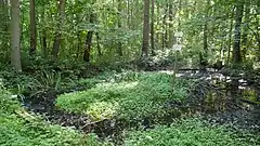
LSG VEC 00033 | Mühlenteich in Spreda | 0,80 | 323085 | Position | 1937 |
| LSG VEC 00034 | Harmerholz | 30,00 | 321389 | Position | 1937 | |
| LSG VEC 00035 | Bruchwald[3] | 10,00 12,50 |
320117 320118 |
Position | 1937 1937 | |
| LSG VEC 00036 | Alte Hülsenbüsche | 0,50 | 319513 | Position | 1937 | |
 |
LSG VEC 00037 | Waldbestand des Gutes Daren | 186,50 | 325534 | Position | 1958 |
 |
LSG VEC 00041 | Waldungen bei den Gütern Welpe und Füchtel | 67,00 | 325626 | Position | 1937 |
| LSG VEC 00045 | Wuchsort von Lycopodium annotinum | 1,60 | 325942 | Position | 1937 | |
| LSG VEC 00047 | Moorbachknie | 1,00 | 323032 | Position | 1937 | |
 |
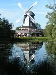
LSG VEC 00049 | Burg Dinklage | 372,00 | 320185 | Position | 1983 |
 |
LSG VEC 00050 | Klövekorns Helle | 0,01 | 322217 | Position | 1937 |
 |
LSG VEC 00051 | Wassergraben um das Pastorat Lohne | 0,10 | 325665 | Position | 1937 |
 |
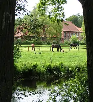
LSG VEC 00052 | Waldgebiet um Gut Hopen | 26,40 | 325591 | Position | 1937 |
 |
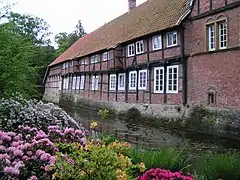
LSG VEC 00053 | Burggraben und Wald bei Haus Brettberg | 13,20 | 320209 | Position | 1937 |
 |
LSG VEC 00054 | Bachlauf mit Steilufer | 1,90 | 319735 | Position | 1937 |
| LSG VEC 00055 | Bruchwald[3] | 10,00 12,50 |
320117 320118 |
Position | 1937 1937 | |
| LSG VEC 00056 | Unregelmäßig breiter Wall | 4,00 | 325301 | Position | 1937 | |
| LSG VEC 00057 | Waldbestand „Im Fange“ | 4,00 | 325532 | Position | 1937 | |
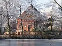 |
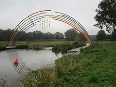
LSG VEC 00061 | Mühlenteich Lohne | 9,00 | 323087 | Position | 1955 |
.jpg.webp) |
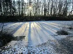
LSG VEC 00062 | Mühlenteich Krimpenforter Mühle | 0,40 | 323086 | Position | 1937 |
| LSG VEC 00066 | Klün-Pott | 0,70 | 322218 | Position | 1955 | |
| LSG VEC 00070 | Röte-Pool | 0,70 | 323978 | Position | 1956 | |
| LSG VEC 00071 | Alter Baumbestand | 0,30 | 319538 | Position | 1962 | |
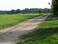 |
LSG VEC 00072 | Geestrücken mit seinen bewaldeten Gebieten zwischen Vechta und Steinfeld | 1647,30 | 321015 | Position | 1986 |
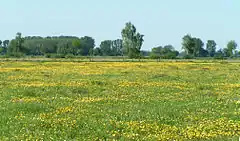 |
LSG VEC 00073 | Dümmer | 651,90 | 320461 | Position | 1981 |
 |
LSG VEC 00074 | Mittlere Hunte | 695,10 | 322985 | Position | 1976 |
 |
LSG VEC 00075 | Bockhorster Moor, Wilder Pool, Märschendorfer Teiche | 384,60 | 319991 | Position | 1984 |
| LSG VEC 00076 | Haverbeker Moor | 174,00 | 321454 | Position | 1990 |
Anmerkungen
- Die Koordinaten entsprechen dem Mittelpunkt eines Rechtecks, das die Grenzen des Landschaftsschutzgebietes einrahmt. Aufgrund der Form eines Areals können sie auch außerhalb des eigentlichen Gebietes liegen. Die Tabellenspalte WDPA-ID gibt die genauen Grenzen an.
- Niedersächsisches Landesamt für Wasserwirtschaft, Küsten- und Naturschutz (NLWKN): Verordnung vom 18.10.2018 über das Landschaftsschutzgebiet VEC Nr. 1 „Dammer Berge“ […]
- Das Bundesamt für Naturschutz zeigt auf seiner Karte zwei Gebiete mit gleichen Namen
Siehe auch
Weblinks
Commons: Landschaftsschutzgebiete im Landkreis Vechta – Sammlung von Bildern
Ammerland | Aurich | Braunschweig | Celle | Cloppenburg | Cuxhaven | Delmenhorst | Diepholz | Emden | Emsland | Friesland | Gifhorn | Goslar | Göttingen | Grafschaft Bentheim | Hameln-Pyrmont | Region Hannover | Harburg | Heidekreis | Helmstedt | Hildesheim | Holzminden | Leer | Lüchow-Dannenberg | Lüneburg | Nienburg/Weser | Northeim | Oldenburg (Land) | Oldenburg (Stadt) | Osnabrück (Land) | Osnabrück (Stadt) | Osterholz | Peine | Rotenburg (Wümme) | Salzgitter | Schaumburg | Stade | Uelzen | Vechta | Verden | Wesermarsch | Wilhelmshaven | Wittmund | Wolfenbüttel | Wolfsburg
This article is issued from Wikipedia. The text is licensed under Creative Commons - Attribution - Sharealike. The authors of the article are listed here. Additional terms may apply for the media files, click on images to show image meta data.