Villa Santa Lucia
Villa Santa Lucia ist eine italienische Gemeinde in der Provinz Frosinone in der Region Latium mit 2574 Einwohnern (Stand 31. Dezember 2019). Sie liegt 125 km südöstlich von Rom und 47 km südöstlich von Frosinone.
| Villa Santa Lucia | ||
|---|---|---|
 |
| |
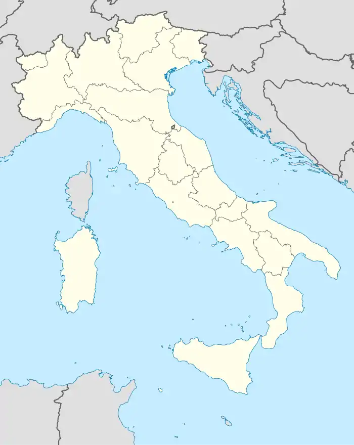
| Staat | Italien | |
| Region | Latium | |
| Provinz | Frosinone (FR) | |
| Koordinaten | 41° 31′ N, 13° 46′ O | |
| Höhe | 323 m s.l.m. | |
| Fläche | 18 km² | |
| Einwohner | 2.574 (31. Dez. 2019)[1] | |
| Postleitzahl | 03030 | |
| Vorwahl | 0776 | |
| ISTAT-Nummer | 060089 | |
| Volksbezeichnung | Villesi | |
| Schutzpatron | Santa Lucia | |
| Website | Villa Santa Lucia | |
Geographie
Villa Santa Lucia liegt oberhalb des Tals des Liri am Südabhang des Monte Cairo (1669 m). Es ist Mitglied der Comunità Montana Valle del Liri.
Die Nachbarorte sind Cassino, Piedimonte San Germano, Pignataro Interamna und Terelle.
Bevölkerungsentwicklung
| Jahr | 1861 | 1881 | 1901 | 1921 | 1936 | 1951 | 1971 | 1991 | 2001 | 2017 |
|---|---|---|---|---|---|---|---|---|---|---|
| Einwohner | 1838 | 1761 | 1937 | 2329 | 2538 | 2180 | 2092 | 2386 | 2622 | 2602 |
Quelle: ISTAT
Politik
Antonio Iannarelli (Bürgerliste) wurde im April 2008 zum Bürgermeister gewählt. Mit der Wahl vom 26. Mai 2013 wurde er im Amte bestätigt.
Kulinarische Spezialitäten
In der Umgebung der Gemeinde werden Reben der Sorte Montepulciano für den DOC-Wein Montepulciano d’Abruzzo angebaut.
Weblinks
- La Ciociaria (italienisch)
- Villa Santa Lucia auf www.comuni-italiani.it (italienisch)
Einzelnachweise
- Statistiche demografiche ISTAT. Monatliche Bevölkerungsstatistiken des Istituto Nazionale di Statistica, Stand 31. Dezember 2019.

Acquafondata | Acuto | Alatri | Alvito | Amaseno | Anagni | Aquino | Arce | Arnara | Arpino | Atina | Ausonia | Belmonte Castello | Boville Ernica | Broccostella | Campoli Appennino | Casalattico | Casalvieri | Cassino | Castelliri | Castelnuovo Parano | Castro dei Volsci | Castrocielo | Ceccano | Ceprano | Cervaro | Colfelice | Colle San Magno | Collepardo | Coreno Ausonio | Esperia | Falvaterra | Ferentino | Filettino | Fiuggi | Fontana Liri | Fontechiari | Frosinone | Fumone | Gallinaro | Giuliano di Roma | Guarcino | Isola del Liri | Monte San Giovanni Campano | Morolo | Paliano | Pastena | Patrica | Pescosolido | Picinisco | Pico | Piedimonte San Germano | Piglio | Pignataro Interamna | Pofi | Pontecorvo | Posta Fibreno | Ripi | Rocca d’Arce | Roccasecca | San Biagio Saracinisco | San Donato Val di Comino | San Giorgio a Liri | San Giovanni Incarico | San Vittore del Lazio | Sant’Ambrogio sul Garigliano | Sant’Andrea del Garigliano | Sant’Apollinare | Sant’Elia Fiumerapido | Santopadre | Serrone | Settefrati | Sgurgola | Sora | Strangolagalli | Supino | Terelle | Torre Cajetani | Torrice | Trevi nel Lazio | Trivigliano | Vallecorsa | Vallemaio | Vallerotonda | Veroli | Vicalvi | Vico nel Lazio | Villa Latina | Villa Santa Lucia | Villa Santo Stefano | Viticuso