Vallerotonda
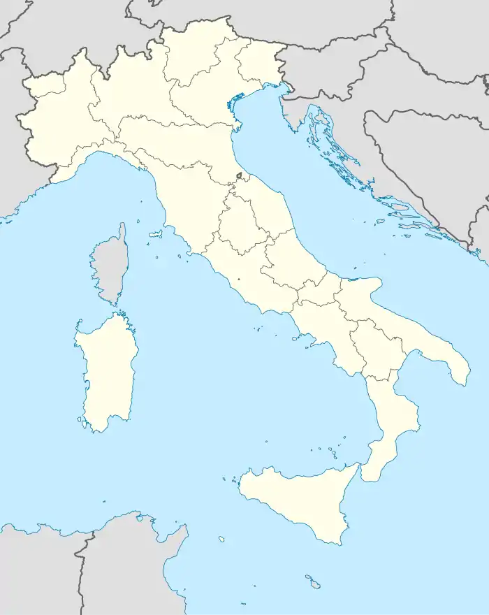
Vallerotonda ist eine Gemeinde in der Provinz Frosinone in der italienischen Region Latium mit 1480 Einwohnern (Stand 31. Dezember 2019). Sie liegt 148 km südöstlich von Rom und 70 km südöstlich von Frosinone.
| Vallerotonda | ||
|---|---|---|
 |
| |
| Staat | Italien | |
| Region | Latium | |
| Provinz | Frosinone (FR) | |
| Koordinaten | 41° 33′ N, 13° 55′ O | |
| Höhe | 620 m s.l.m. | |
| Fläche | 59 km² | |
| Einwohner | 1.480 (31. Dez. 2019)[1] | |
| Postleitzahl | 03040 | |
| Vorwahl | 0776 | |
| ISTAT-Nummer | 060084 | |
| Volksbezeichnung | Vallerotondesi | |
| Schutzpatron | Santi Giovanni e Paolo (26. Juni) | |
| Website | Vallerotonda | |
Geographie
Vallerotonda liegt auf einem Hügel am Rande der Monti della Meta. Ein großer Teil des Gemeindegebiets gehört zum Nationalpark Abruzzen, Latium und Molise. Es ist Mitglied der Comunità Montana Valle di Comino.
Die Nachbargemeinden sind Acquafondata, Cervaro, Filignano (IS), Rocchetta a Volturno (IS), San Biagio Saracinisco, Sant’Elia Fiumerapido, Viticuso
Bevölkerungsentwicklung
| Jahr | 1861 | 1881 | 1901 | 1921 | 1936 | 1951 | 1971 | 1991 | 2001 |
|---|---|---|---|---|---|---|---|---|---|
| Einwohner | 3120 | 3618 | 4001 | 3427 | 3134 | 3692 | 2122 | 2072 | 1853 |
Quelle: ISTAT
Politik
Giovanni di Meo (Lista Civica: Bene Comune) wurde am 26. Mai 2019 zum neuen Bürgermeister gewählt.
Weblinks
- La Ciociaria (italienisch)
- Vallerotonda auf www.comuni-italiani.it (italienisch)
Einzelnachweise
- Statistiche demografiche ISTAT. Monatliche Bevölkerungsstatistiken des Istituto Nazionale di Statistica, Stand 31. Dezember 2019.
This article is issued from Wikipedia. The text is licensed under Creative Commons - Attribution - Sharealike. The authors of the article are listed here. Additional terms may apply for the media files, click on images to show image meta data.

