Luchente
Llutxent (kastilisch Luchente) ist ein Dorf in der Region Valencia in Spanien.
| Gemeinde Luchente | |||
|---|---|---|---|
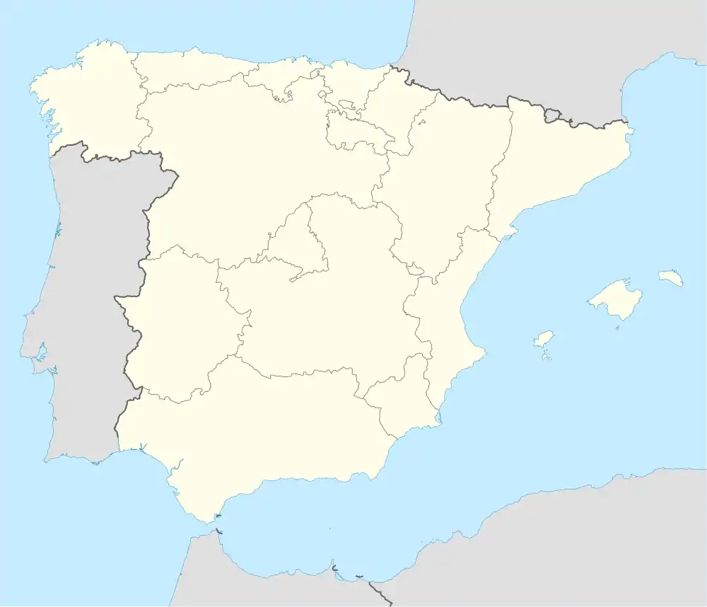
| Wappen | Karte von Spanien | ||
 |
| ||
| Basisdaten | |||
| Autonome Gemeinschaft: | Valencia | ||
| Provinz: | Valencia | ||
| Comarca: | Vall d'Albaida | ||
| Koordinaten | 38° 57′ N, 0° 21′ W | ||
| Höhe: | 280 msnm | ||
| Fläche: | 40,12 km² | ||
| Einwohner: | 2.345 (1. Jan. 2019)[1] | ||
| Bevölkerungsdichte: | 58,45 Einw./km² | ||
| Postleitzahl: | 46838 | ||
| Gemeindenummer (INE): | 46150 | ||
| Nächster Flughafen: | Aeropuerto de Manises (Valencia) | ||
| Verwaltung | |||
| Amtssprache: | Valencianisch | ||
| Bürgermeister: | José Miguel Aranda Orts (PP) | ||
| Website: | www.llutxent.com | ||
Lage
Llutxent liegt in der Comarca Vall d'Albaida, ca. 76,7 Kilometer südlich von Valencia und 37,4 Kilometer von Ontinyent entfernt.
Sehenswürdigkeiten
- Kloster Corpus Christi
- Route der Klöster von Valencia
Weblinks
Commons: Llutxent – Sammlung von Bildern, Videos und Audiodateien
Einzelnachweise
- Cifras oficiales de población resultantes de la revisión del Padrón municipal a 1 de enero. Bevölkerungsstatistiken des Instituto Nacional de Estadística (Bevölkerungsfortschreibung).
This article is issued from Wikipedia. The text is licensed under Creative Commons - Attribution - Sharealike. The authors of the article are listed here. Additional terms may apply for the media files, click on images to show image meta data.
