Plavnik
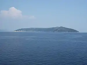
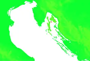
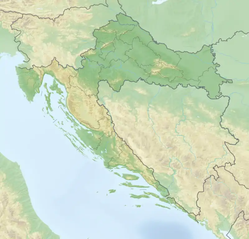
Plavnik ist eine kroatische Insel in der Kvarner-Bucht der Adria, zwischen den größeren Inseln Cres und Krk gelegen, mit einer Länge von 6,3 km von Nordwest nach Südost.
| Plavnik | ||
|---|---|---|
 Plavnik | ||
| Gewässer | Adriatisches Meer, Kvarner | |
| Geographische Lage | 44° 58′ 7″ N, 14° 31′ 3″ O | |
| ||
| Länge | 6,3 km | |
| Breite | 2,2 km | |
| Fläche | 8,64 km² | |
| Höchste Erhebung | 194 m | |
| Einwohner | unbewohnt | |
 Lagekarte | ||
Die Insel ist 8,64 km² groß, der Umfang beträgt 18,477 km,[1] die höchste Erhebung 194 m. Sie hat eine spärliche Vegetation mediterranen Typs und ist von einigen Felseninseln umgeben.
Sie ist unbewohnt und hat keine geeigneten Landeplätze. Am westlichsten Punkt, Kap Veli Pin, gibt es einen Leuchtturm. Die Entfernung nach Cres beträgt hier weniger als 1 km, die nach Krk 5 km.
Einzelnachweise
- Tea Duplančić Leder, Tin Ujević, Mendi Čala: Coastline lengths and areas of islands in the Croatian part of the Adriatic Sea determined from the topographic maps at the scale of 1 : 25 000 (PDF; 378 kB). In: Geoadria Band 9, Nr. 1, 2004, S. 5–32.
This article is issued from Wikipedia. The text is licensed under Creative Commons - Attribution - Sharealike. The authors of the article are listed here. Additional terms may apply for the media files, click on images to show image meta data.
