Manitoba Census Division No. 13
Die Census Division No. 13 in der kanadischen Provinz Manitoba gehört zur Interlakes Region. Sie hat eine Fläche von 1693,9 km² und 49.086 Einwohner (Stand: 2016). 2011 betrug die Einwohnerzahl 46.888.[2]
| Division No. 13 | |
|---|---|
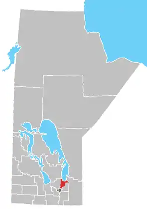 Lage der Region in Manitoba | |
| Basisdaten | |
| Staat | Kanada |
| Provinz | Manitoba |
| Koordinaten: | 50° 12′ N, 96° 57′ W |
| Einwohner | 49.086 (Stand: 2016[1]) |
| Fläche | 1.693,9 km² |
| Bevölkerungsdichte | 29 Einw./km² |
| Zeitzone: | Central Standard Time (UTC−6) Central Daylight Time (UTC−5, Sommerzeit) |
Gemeinden
City
Village
- Dunnottar
Gemeindefreie Gebiete
- Birds Hill
- Clandeboye
- Dunnottar
- East Selkirk
- Glengarry
- Grand Marais
- Libau
- Lockport
- Middlechurch
- Petersfield
- Pritchard East Estate
- Rivercrest
- River East Estates
- Silverfox Estates
- Selkirk
- St. Andrews
- Thalberg
- Whidbey Harbour
Rural Municipalities
- RM East St. Paul
- RM St. Andrews
- RM St. Clements
- RM West St. Paul
Indianerreservate
Brokenhead Ojibway Nation
- Brokenhead 4
Einzelnachweise
- Statistics Canada: Census Profile, 2016 Census – Division No. 13, Census division (Census division), Manitoba and Alberta (Province), abgerufen am 15. Mai 2021
- Statistics Canada: Census 2011. Abgerufen am 29. Juli 2012 (englisch).
Weblinks
- Census Profile: Census Division No. 13, Manitoba; Statistics Canada
- Census Profile: Karte Census Division No. 13, Manitoba; Statistics Canada
Division No. 1 | Division No. 2 | Division No. 3 | Division No. 4 | Division No. 5 | Division No. 6 | Division No. 7 | Division No. 8 | Division No. 9 | Division No. 10 | Division No. 11 | Division No. 12 | Division No. 13 | Division No. 14 | Division No. 15 | Division No. 16 | Division No. 17 | Division No. 18 | Division No. 19 | Division No. 20 | Division No. 21 | Division No. 22 | Division No. 23
This article is issued from Wikipedia. The text is licensed under Creative Commons - Attribution - Sharealike. The authors of the article are listed here. Additional terms may apply for the media files, click on images to show image meta data.