Liste der Regionen in Manitoba
Die kanadische Provinz Manitoba gliedert sich in acht Regionen, die wiederum in 23 Census divisions aufgeteilt sind.[1] Dabei dient die Gliederung in Census divisions nur statistischen Zwecken und hat keinen verwaltungstechnischen Charakter. Die Verwaltung erfolgt durch die ländlichen und städtischen Gemeinden (79 „urban municipalities“ sowie 116 „rural municipalities“) sowie besondere Verwaltungseinheiten (2 „local government districts“).
| Region | Census Division | Gebiet | Einwohner | Fläche (km²) | Bevölkerungsdichte (Einw./km²) |
|---|---|---|---|---|---|
| Southeast | No. 1 | Eastern Manitoba | 17.331 | 14.872,94 | 1,2 |
| No. 2 | Steinbach area | 65.374 | 4.406,65 | 14,8 | |
| No. 12 | Beausejour Area | 21.830 | 1.856,72 | 11,8 | |
| South Central | No. 3 | Pembina Valley | 51.350 | 5.309,48 | 9,7 |
| No. 4 | Pilot Mound Area | 9.306 | 4.481,55 | 2,1 | |
| Southwest | No. 5 | South West Area | 12.922 | 8.228,54 | 1,6 |
| No. 6 | Virden Area | 10.025 | 3.944,72 | 2,5 | |
| No. 7 | Brandon Area | 64.317 | 5.744,03 | 11,2 | |
| No. 15 | Western Manitoba | 21.604 | 9.326,60 | 2,3 | |
| North Central | No. 8 | Central Manitoba | 14.127 | 5.752,04 | 2,5 |
| No. 9 | Portage la Prairie Area | 23.489 | 2.990,31 | 7,9 | |
| No. 10 | Whitehorse Plains | 10.673 | 1.914,61 | 5,6 | |
| Winnipeg | No. 11 | Winnipeg | 666.832 | 571,06 | 1.167,7 |
| Interlakes | No. 13 | Selkirk Area | 46.888 | 1.693,91 | 27,7 |
| No. 14 | South Interlake | 18.497 | 2.827,63 | 6,5 | |
| No. 18 | North Interlake | 23.469 | 11.333,83 | 2,1 | |
| Parklands | No. 16 | Roblin, Russell, Rossburn Area | 9.928 | 4.714,59 | 2,1 |
| No. 17 | Dauphin | 22.208 | 13.642,91 | 1,6 | |
| No. 20 | Swan Valley | 9.952 | 9.869,48 | 1,0 | |
| North | No. 19 | North East Manitoba | 17.240 | 61.219,00 | 0,3 |
| No. 21 | Flin Flon/North West | 21.393 | 43.196,66 | 0,5 | |
| No. 22 | Thompson/North Central | 40.923 | 92.068,48 | 0,4 | |
| No. 23 | Churchill/Northern Manitoba | 8.590 | 242.363,77 | 0,0 |
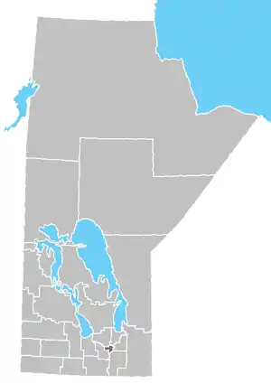
Census Divisions in Manitoba
Siehe auch
Einzelnachweise
- Census 2011. Statistics Canada (englisch) abgerufen am 8. Februar 2012.
This article is issued from Wikipedia. The text is licensed under Creative Commons - Attribution - Sharealike. The authors of the article are listed here. Additional terms may apply for the media files, click on images to show image meta data.