Berzosilla
Berzosilla ist ein Ort und eine spanische Gemeinde (municipio) in der Provinz Palencia der Autonomen Gemeinschaft Kastilien-Leon auf 1040 msnm. Sie hat eine Fläche von 20 km², 40 Einwohner (2019) und eine Bevölkerungsdichte von 2 Einw. pro km².
| Gemeinde Berzosilla | |||
|---|---|---|---|
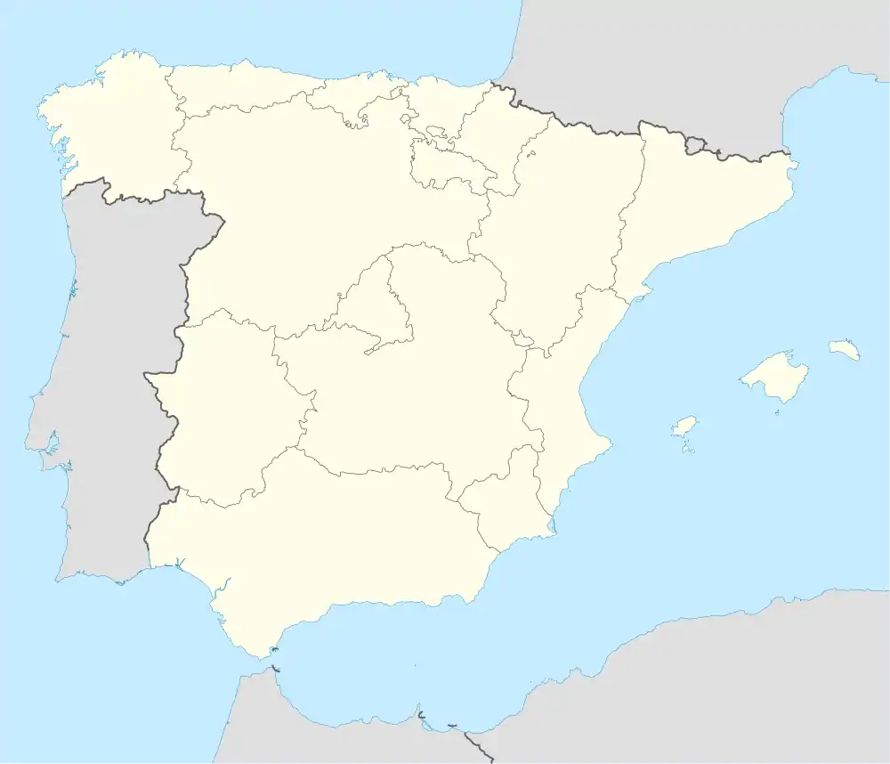
| Wappen | Karte von Spanien | ||
| ? Hilfe zu Wappen |
| ||
| Basisdaten | |||
| Autonome Gemeinschaft: | |||
| Provinz: | Palencia | ||
| Comarca: | Montaña Palentina | ||
| Koordinaten | 42° 47′ N, 4° 2′ W | ||
| Höhe: | 819 msnm | ||
| Fläche: | 19,61 km² | ||
| Einwohner: | 40 (1. Jan. 2019)[1] | ||
| Bevölkerungsdichte: | 2,04 Einw./km² | ||
| Postleitzahl: | 39250 | ||
| Gemeindenummer (INE): | 34032 | ||
Lage
Die Gemeinde liegt 125 Kilometer nördlich der Provinzhauptstadt Palencia und westlich von Aguilar de Campoo. Berzosilla mit seinen Ortsteilen bildet eine Enklave der Provinz Palencia in Kantabrien und der Provinz Burgos.
Gemeindegliederung
Bevölkerungsentwicklung
| 1900 | 1910 | 1920 | 1930 | 1940 | 1950 | 1960 | 1970 | 1981 | 1991 |
| 486 | 510 | 448 | 476 | 455 | 418 | 342 | 217 | 112 | 84 |
Sehenswürdigkeiten
- Spätromanische Kirche San Vítores in Berzosilla
Literatur
- César del Valle Barreda: Antigua Merindad de Aguilar de Campoo. Fundación Santa María la Real, Aguilar de Campoo 2009, ISBN 978-84-89483-55-2, S. 79–80.
Weblinks
Commons: Berzosilla – Sammlung von Bildern, Videos und Audiodateien
Einzelnachweise
- Cifras oficiales de población resultantes de la revisión del Padrón municipal a 1 de enero. Bevölkerungsstatistiken des Instituto Nacional de Estadística (Bevölkerungsfortschreibung).
This article is issued from Wikipedia. The text is licensed under Creative Commons - Attribution - Sharealike. The authors of the article are listed here. Additional terms may apply for the media files, click on images to show image meta data.

