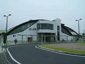
Yachimata
Yachimata (jap. 八街市, -shi) ist eine Stadt der Präfektur Chiba im Osten von Honshū, der Hauptinsel von Japan.
| Yachimata-shi 八街市 | |||
|---|---|---|---|
 Yachimata | |||
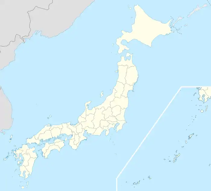
| Geographische Lage in Japan | |||
| |||
| Region: | Kantō | ||
| Präfektur: | Chiba | ||
| Koordinaten: | 35° 40′ N, 140° 19′ O | ||
| Basisdaten | |||
| Fläche: | 74,87 km² | ||
| Einwohner: | 66.430 (1. März 2021) | ||
| Bevölkerungsdichte: | 887 Einwohner je km² | ||
| Gemeindeschlüssel: | 12230-1 | ||
| Symbole | |||
| Flagge/Wappen: |  | ||
| Baum: | Osmanthus fragrans var. aurantiacus | ||
| Rathaus | |||
| Adresse: | Yachimata City Hall Ho-35-29, Yachimata Yachimata-shi Chiba-ken 289-1192 | ||
| Webadresse: | https://www.city.yachimata.lg.jp/ | ||
| Lage der Stadt Yachimata in der Präfektur Chiba | |||
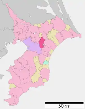 Lage Yachimatas in der Präfektur | |||
Verkehr
In ca. 10 km Entfernung zur Stadt liegt der Flughafen Tokio-Narita.
- Zug:
- Straße:
- Nationalstraße 126, 409
Weblink
Kreisfreie Städte (shi): Abiko | Asahi | Chiba (Verwaltungssitz) | Chōshi | Funabashi | Futtsu | Ichihara | Ichikawa | Inzai | Isumi | Kamagaya | Kamogawa | Kashiwa | Katori | Katsuura | Kimitsu | Kisarazu | Matsudo | Minamibōsō | Mobara | Nagareyama | Narashino | Narita | Noda | Ōami-Shirasato | Sakura | Sammu | Shiroi | Sodegaura | Sōsa | Tateyama | Tomisato | Tōgane | Urayasu | Yachimata | Yachiyo | Yotsukaidō
Awa-gun: Kyonan | Chōsei-gun: Chōnan | Chōsei | Ichinomiya | Mutsuzawa | Nagara | Shirako | Inba-gun: Sakae | Shisui | Isumi-gun: Onjuku | Ōtaki | Katori-gun: Kōzaki | Tako | Tōnoshō | Sanbu-gun: Kujūkuri | Shibayama | Yokoshiba-Hikari