Sodegaura
Sodegaura (jap. 袖ヶ浦市, -shi) ist eine Stadt der Präfektur Chiba im Osten von Honshū, der Hauptinsel Japans.
| Sodegaura-shi 袖ヶ浦市 | |||
|---|---|---|---|
| |||
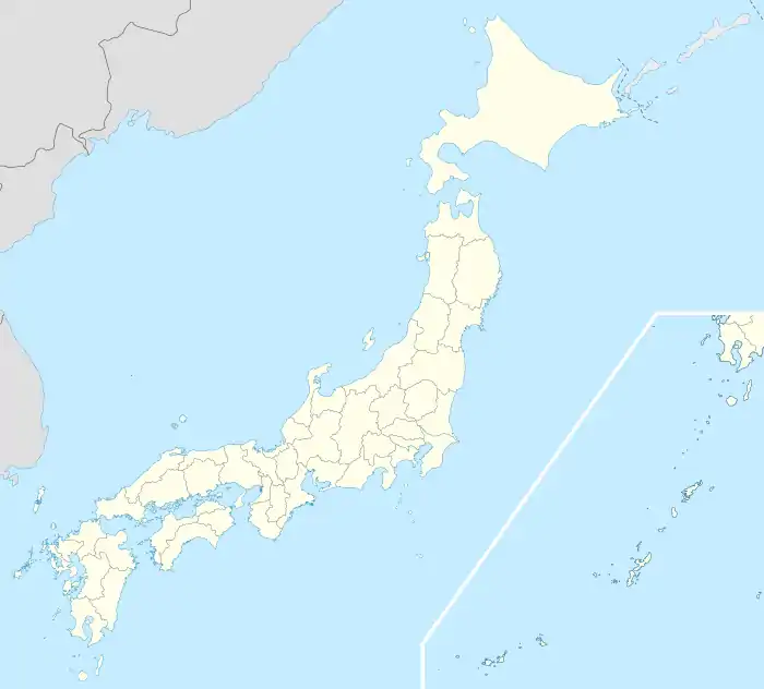
| Geographische Lage in Japan | |||
| Region: | Kantō | ||
| Präfektur: | Chiba | ||
| Koordinaten: | 35° 26′ N, 139° 57′ O | ||
| Basisdaten | |||
| Fläche: | 94,92 km² | ||
| Einwohner: | |||
| Gemeindeschlüssel: | 12229-7 | ||
| Symbole | |||
| Flagge/Wappen: |  | ||
| Baum: | Shii-Castanopsis | ||
| Blume: | Lilium auratum | ||
| Vogel: | Japanbuschsänger | ||
| Lied: | Hikari no Kosumosu | ||
| Rathaus | |||
| Adresse: | Sodegaura City Hall 1-1, Sakado-Ichiba Sodegaura-shi Chiba-ken 299-0292 | ||
| Webadresse: | https://www.city.sodegaura.lg.jp/ | ||
| Lage der Gemeinde Sodegaura in der Präfektur Chiba | |||
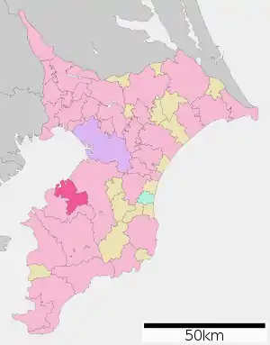 Lage Sodegauras in der Präfektur | |||
Geographie
Die Stadt liegt südöstlich von Tokio auf der Bōsō-Halbinsel an der Bucht von Tokio.
Verkehr
- Straße:
- Tateyama-Autobahn
- Nationalstraße 16
- Nationalstraßen 409, 410
- Zug:
Weblinks
Kreisfreie Städte (shi): Abiko | Asahi | Chiba (Verwaltungssitz) | Chōshi | Funabashi | Futtsu | Ichihara | Ichikawa | Inzai | Isumi | Kamagaya | Kamogawa | Kashiwa | Katori | Katsuura | Kimitsu | Kisarazu | Matsudo | Minamibōsō | Mobara | Nagareyama | Narashino | Narita | Noda | Ōami-Shirasato | Sakura | Sammu | Shiroi | Sodegaura | Sōsa | Tateyama | Tomisato | Tōgane | Urayasu | Yachimata | Yachiyo | Yotsukaidō
Awa-gun: Kyonan | Chōsei-gun: Chōnan | Chōsei | Ichinomiya | Mutsuzawa | Nagara | Shirako | Inba-gun: Sakae | Shisui | Isumi-gun: Onjuku | Ōtaki | Katori-gun: Kōzaki | Tako | Tōnoshō | Sanbu-gun: Kujūkuri | Shibayama | Yokoshiba-Hikari