St. Michaels
St. Michaels (Navajo: Ts'íhootso) ist ein Census-designated place im Apache County im US-Bundesstaat Arizona. Sie hat 1295 Einwohner auf einer Fläche von 9,9 km². Die Bevölkerungsdichte liegt bei 130,5/km². Die Stadt befindet sich in einer Höhe von 2056 m ü. M. und an der Arizona State Route 264.
| St. Michaels | |
|---|---|
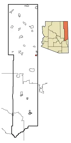 Lage im County und in Arizona | |
| Basisdaten | |
| Staat: | Vereinigte Staaten |
| Bundesstaat: | Arizona |
| County: | Apache County |
| Koordinaten: | 35° 40′ N, 109° 6′ W |
| Zeitzone: | Mountain Standard Time (UTC−7) |
| Einwohner: | 1.384 (Stand: 2020) |
| Fläche: | 9,8 km² (ca. 4 mi²) |
| Höhe: | 2054 m |
| Postleitzahl: | 86511 |
| FIPS: | 04-62420 |
| GNIS-ID: | 0010723 |
| Website: | stmichaels.navajochapters.org |
This article is issued from Wikipedia. The text is licensed under Creative Commons - Attribution - Sharealike. The authors of the article are listed here. Additional terms may apply for the media files, click on images to show image meta data.