Rock Point (Arizona)
Rock Point (Navajo: Tsé Nitsaa Deezʼáhí) ist ein Census-designated place im Apache County im US-Bundesstaat Arizona. Sie hat 724 Einwohner auf einer Fläche von 35 km². Die Bevölkerungsdichte liegt bei 20,3/km². Die Stadt befindet sich in einer Höhe von 1524 m über dem Meeresspiegel und am U.S. Highway 191.
| Rock Point | |
|---|---|
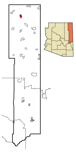 Lage im County und in Arizona | |
| Basisdaten | |
| Staat: | Vereinigte Staaten |
| Bundesstaat: | Arizona |
| County: | Apache County |
| Koordinaten: | 36° 43′ N, 109° 38′ W |
| Zeitzone: | Mountain Standard Time (UTC−7) |
| Einwohner: | 552 (Stand: 2020) |
| Fläche: | 35,7 km² (ca. 14 mi²) davon 35,7 km² (ca. 14 mi²) Land |
| Höhe: | 1525 m |
| Postleitzahl: | 86545 |
| Vorwahl: | +1 928 |
| FIPS: | 04-60880 |
| GNIS-ID: | 0010415 |
| Website: | rockpoint.navajochapters.org |
Weblinks
Commons: Rock Point (Arizona) – Sammlung von Bildern, Videos und Audiodateien
This article is issued from Wikipedia. The text is licensed under Creative Commons - Attribution - Sharealike. The authors of the article are listed here. Additional terms may apply for the media files, click on images to show image meta data.