Dennehotso
Dennehotso (Navajo: Deinihootso) ist ein Census-designated place im Apache County im US-Bundesstaat Arizona und liegt am U.S. Highway 160.
| Dennehotso | |
|---|---|
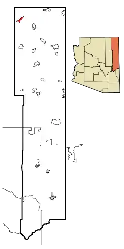 Lage in Arizona | |
| Basisdaten | |
| Staat: | Vereinigte Staaten |
| Bundesstaat: | Arizona |
| County: | Apache County |
| Koordinaten: | 36° 50′ N, 109° 52′ W |
| Zeitzone: | Mountain Standard Time (UTC−7) |
| Einwohner: | 587 (Stand: 2020) |
| Fläche: | 25,7 km² (ca. 10 mi²) davon 25,6 km² (ca. 10 mi²) Land |
| Höhe: | 1529 m |
| Postleitzahl: | 86535 |
| Vorwahl: | +1 928 |
| FIPS: | 04-18580 |
| GNIS-ID: | 0003954 |
This article is issued from Wikipedia. The text is licensed under Creative Commons - Attribution - Sharealike. The authors of the article are listed here. Additional terms may apply for the media files, click on images to show image meta data.