Kulbi-Inseln
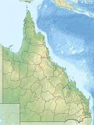
Die Kulbi-Inseln (auch Kulbi Islets genannt) liegen in der Torres-Straße zwischen Australien und Papua-Neuguinea, nur wenige Kilometer nordöstlich von Moa Island.
| Kulbi-Inseln | ||
|---|---|---|
.png.webp) Landsat-Bild der Gruppe | ||
| Gewässer | Pazifischer Ozean | |
| Archipel | Torres-Strait-Inseln | |
| Geographische Lage | 10° 7′ S, 142° 21′ O | |
| ||
| Anzahl der Inseln | 3 | |
| Hauptinsel | Portlock Island | |
| Gesamte Landfläche | 0,26 km² | |
| Einwohner | unbewohnt | |
Tabelle der Inseln
Zur unbewohnten Inselgruppe gehören:
| Inselname | Alternativ | Lage | Fläche km² |
Geokoordinaten |
|---|---|---|---|---|
| North Possession Island | Iem | Norden | 0,13 | 10° 05′ S, 142° 20′ O |
| Tobin Island | Zagarsum | Mitte | 0,03 | 10° 06′ S, 142° 21′ O |
| Portlock Island | Kulbi | Süden | 0,10 | 10° 07′ S, 142° 21′ O |
Verwaltungsmäßig gehören die Kulbi-Inseln zu den Western Islands, einer Inselregion im Verwaltungsbezirk Torres Shire von Queensland.
Siehe auch
This article is issued from Wikipedia. The text is licensed under Creative Commons - Attribution - Sharealike. The authors of the article are listed here. Additional terms may apply for the media files, click on images to show image meta data.
