Fara Gera d’Adda
Fara Gera d’Adda ist eine italienische Gemeinde (comune) mit 8042 Einwohnern (Stand 31. Dezember 2019) in der Provinz Bergamo, Region Lombardei.
| Fara Gera d’Adda | ||
|---|---|---|
 |
| |
| Staat | Italien | |
| Region | Lombardei | |
| Provinz | Bergamo (BG) | |
| Koordinaten | 45° 33′ N, 9° 32′ O | |
| Höhe | 131 m s.l.m. | |
| Fläche | 10 km² | |
| Einwohner | 8.042 (31. Dez. 2019)[1] | |
| Postleitzahl | 24045 | |
| Vorwahl | 0363 | |
| ISTAT-Nummer | 016096 | |
| Volksbezeichnung | Faresi | |
| Schutzpatron | Sant’Alessandro | |
| Website | comune.farageradadda.bg.it | |
Geographie
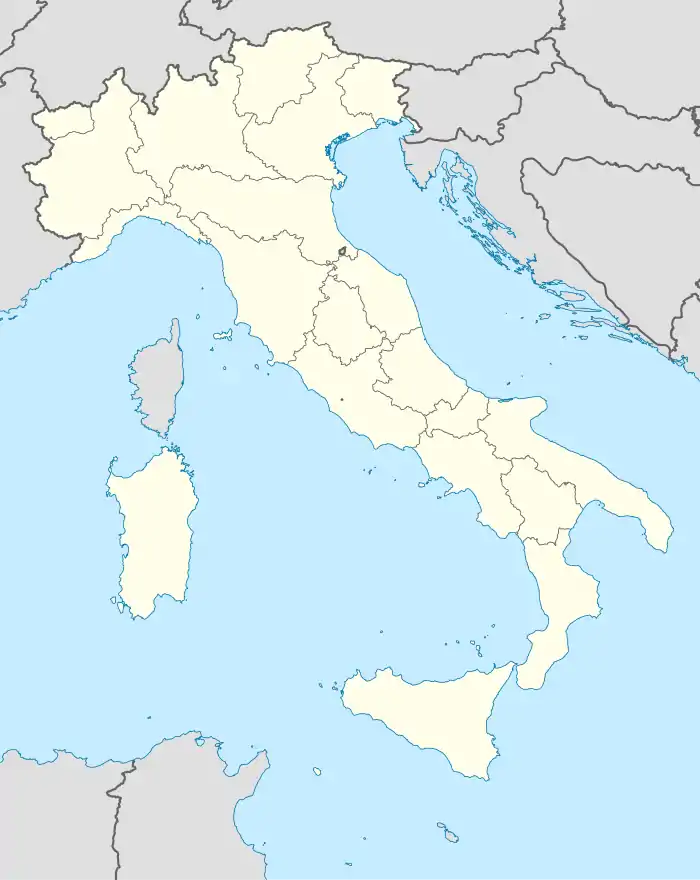
Fara Gera d’Adda liegt 20 Kilometer südwestlich der Provinzhauptstadt Bergamo und 30 Kilometer nordöstlich der Metropole Mailand.
Die Nachbargemeinden sind Canonica d’Adda, Cassano d’Adda (MI), Pontirolo Nuovo, Treviglio und Vaprio d’Adda (MI).
Sehenswürdigkeiten
- Basilica Autarena, lombardisches Kirchengebäude
Weblinks
Commons: Fara Gera d’Adda – Sammlung von Bildern, Videos und Audiodateien
Einzelnachweise
- Statistiche demografiche ISTAT. Monatliche Bevölkerungsstatistiken des Istituto Nazionale di Statistica, Stand 31. Dezember 2019.
This article is issued from Wikipedia. The text is licensed under Creative Commons - Attribution - Sharealike. The authors of the article are listed here. Additional terms may apply for the media files, click on images to show image meta data.

