Coleraine (Borough)
Coleraine (irisch Cúil Raithin) war einer der 26 nordirischen Districts, die von 1973 bis 2015 bestanden. Der District, dessen Gebiet in den traditionellen Grafschaften Antrim und Londonderry lag, besaß den Status eines Borough. Der Verwaltungssitz war die Stadt Coleraine. Weitere bedeutende Orte waren Garvagh, Portrush, Portstewart und Kilrea. Zum 1. April 2015 ging er im neuen District Causeway Coast and Glens auf.
| Coleraine Borough Buirg Chúil Raithin | |
|---|---|
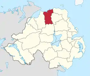 Lage in Nordirland | |
| Geografie | |
| Traditionelle Grafschaft | County Antrim und County Londonderry |
| Fläche | 486 km² |
| Verwaltungssitz | Coleraine |
| ISO 3166-2 | GB-CLR |
| Demografie | |
| Bevölkerung | 58.993 (2012)[1] |
| Dichte | 121 Ew./km² |
| Konfessionen | Protestanten 56,8 % Katholiken 25,0 %[2] |
Coleraine Council
Die Wahl zum Coleraine Council am 11. Mai 2011 hatte folgendes Ergebnis:[3]
| Partei | Ergebnis 2011 | Veränderung zu 2005 | |||
|---|---|---|---|---|---|
| Sitze | Stimmen | Sitze | Stimmen | ||
| Democratic Unionist Party (DUP) | 9 | 36,3 % | 0 | −0,7 % | |
| Ulster Unionist Party (UUP) | 5 | 19,1 % | −3 | −12,9 % | |
| Social Democratic and Labour Party (SDLP) | 3 | 10,7 % | 0 | −1,6 % | |
| Alliance Party | 2 | 8,9 % | 2 | 4,3 % | |
| Sinn Féin | 1 | 9,1 % | 0 | 1,3 % | |
| Traditional Unionist Voice | 0 | 1,7 % | 0 | 1,7 % | |
| Sonstige | 0 | 0,5 % | 0 | 0,5 % | |
| Unabhängige | 2 | 13,7 % | 1 | 7,5 % | |
Siehe auch
Einzelnachweise
- Northern Ireland Population Estimates 2012 (XLS-Datei)
- Northern Ireland Census 2011: Religion (administrative geographies)
- Wahlergebnis bei BBC News (Abgerufen am 26. Juli 2011)
Antrim | Ards | Armagh | Ballymena | Ballymoney | Banbridge | Belfast | Carrickfergus | Castlereagh | Coleraine | Cookstown | Craigavon | Derry | Down | Dungannon and South Tyrone | Fermanagh | Larne | Limavady | Lisburn | Magherafelt | Moyle | Newry and Mourne | Newtownabbey | North Down | Omagh | Strabane