Émarèse
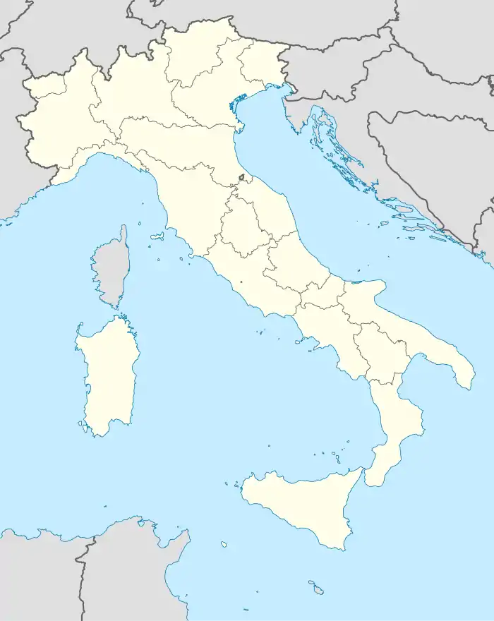
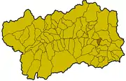
Émarèse ist eine italienische Gemeinde mit 226 Einwohnern (Stand 31. Dezember 2019) in der autonomen Region Aostatal. Die Gemeinde liegt auf einer mittleren Höhe von 1170 m s.l.m. und verfügt über eine Größe von 10 km². Die Einwohner werden emaresotti (it.) oder émaresots (französisch) genannt. Émarèse ist Mitglied der Unité des Communes valdôtaines Mont-Cervin.
| Émarèse | ||
|---|---|---|
 |
| |
| Staat | Italien | |
| Region | Aostatal | |
| Koordinaten | 45° 43′ N, 7° 42′ O | |
| Höhe | 1170 m s.l.m. | |
| Fläche | 10 km² | |
| Einwohner | 226 (31. Dez. 2019)[1] | |
| Postleitzahl | 11020 | |
| Vorwahl | 0166 | |
| ISTAT-Nummer | 007025 | |
| Volksbezeichnung | emaresotti (it.) émaresots (französisch) | |
| Website | Émarèse | |
Émarèse besteht aus den Ortsteilen (ital. Frazioni, frz. Hameaux) Fontillun, La Saléraz, Érésaz, Ravet, Chassan, Settarme, Sommarèse und Longeon. Die Nachbargemeinden sind Brusson, Challand-Saint-Anselme, Challand-Saint-Victor, Montjovet und Saint-Vincent.
Weblinks
Einzelnachweise
- Statistiche demografiche ISTAT. Monatliche Bevölkerungsstatistiken des Istituto Nazionale di Statistica, Stand 31. Dezember 2019.

Allein | Antey-Saint-André | Aosta | Arnad | Arvier | Avise | Ayas | Aymavilles | Bard | Bionaz | Brissogne | Brusson | Challand-Saint-Anselme | Challand-Saint-Victor | Chambave | Chamois | Champdepraz | Champorcher | Charvensod | Châtillon | Cogne | Courmayeur | Donnas | Doues | Émarèse | Étroubles | Fontainemore | Fénis | Gaby | Gignod | Gressan | Gressoney-La-Trinité | Gressoney-Saint-Jean | Hône | Introd | Issime | Issogne | Jovençan | La Magdeleine | La Salle | La Thuile | Lillianes | Montjovet | Morgex | Nus | Ollomont | Oyace | Perloz | Pollein | Pont-Saint-Martin | Pontboset | Pontey | Pré-Saint-Didier | Quart | Rhêmes-Notre-Dame | Rhêmes-Saint-Georges | Roisan | Saint-Christophe | Saint-Denis | Saint-Marcel | Saint-Nicolas | Saint-Oyen | Saint-Pierre | Saint-Rhémy-en-Bosses | Saint-Vincent | Sarre | Torgnon | Valgrisenche | Valpelline | Valsavarenche | Valtournenche | Verrayes | Verrès | Villeneuve