Wietalaba-Nationalpark
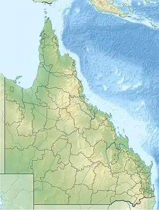
Der Wietalaba-Nationalpark (englisch Wietalaba National Park) ist ein 18 km² großer Nationalpark in Queensland, Australien.
| Wietalaba-Nationalpark | |||
|---|---|---|---|
| |||
| Lage: | Queensland, Australien | ||
| Nächste Stadt: | 40 km von Monto | ||
| Fläche: | 18,29 km²[1] | ||
| Gründung: | 2006[1] | ||
Der Park befindet sich 48 km südlich von Gladstone und 36 km westlich von Miriam Vale, der nächste Ort ist Nagoorin. Es gibt weder Zufahrtsstraßen noch Besuchereinrichtungen.[2]
Einzelnachweise
- Australian Government - CAPAD 2010 (MS Excel; 170 kB), DSEWPaC, abgerufen am 7. Oktober 2012 (englisch)
- Parks and forests maps: Parks of Boyne Valley and surrounds. Queensland Parks and Wildlife Service, abgerufen am 10. Februar 2018 (englisch; PDF, 220 kB).
This article is issued from Wikipedia. The text is licensed under Creative Commons - Attribution - Sharealike. The authors of the article are listed here. Additional terms may apply for the media files, click on images to show image meta data.
