Villamayor (Salamanca)
Villamayor ist eine zentralspanische Gemeinde (municipio) in der Provinz Salamanca in der Autonomen Gemeinschaft Kastilien-León mit 7202 Einwohnern (Stand: 1. Januar 2019).
| Gemeinde Villamayor | |||
|---|---|---|---|
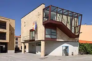
 Gemeindeverwaltung von Villamayor | |||
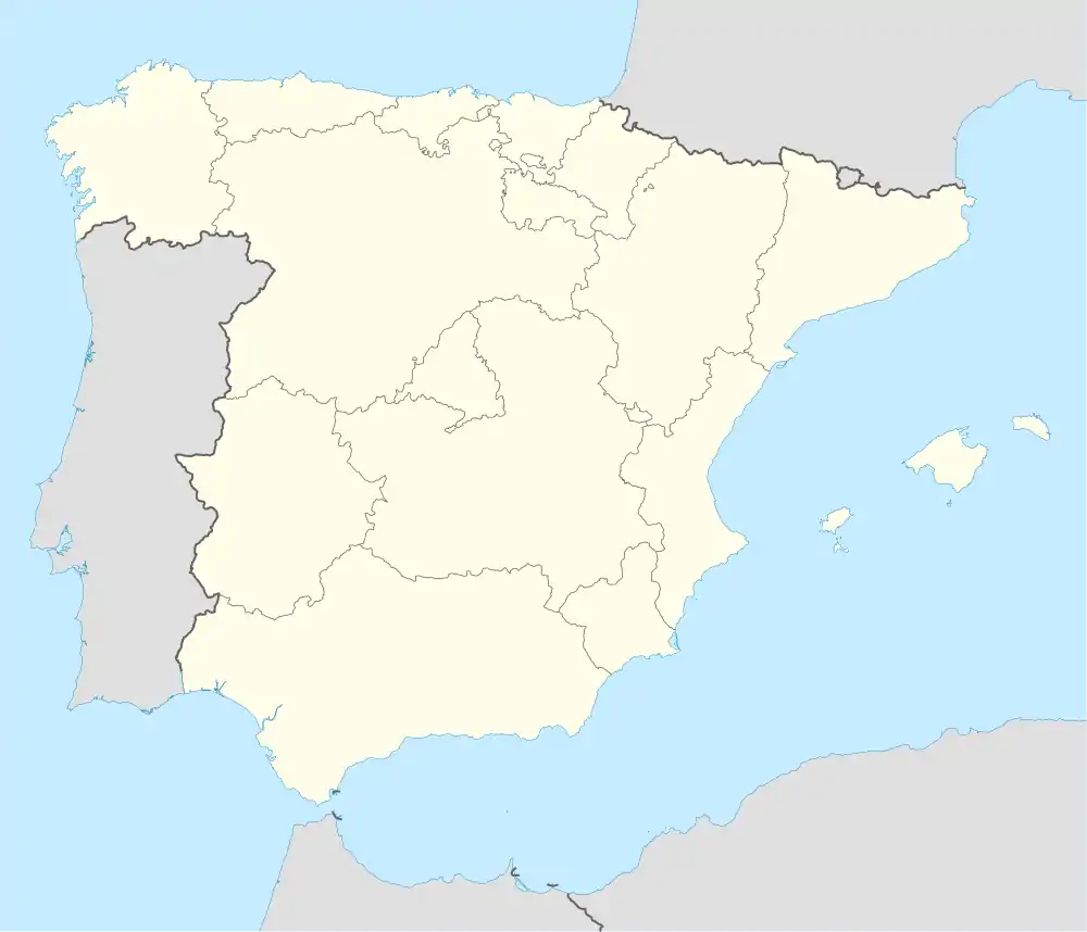
| Wappen | Karte von Spanien | ||
 |
| ||
| Basisdaten | |||
| Autonome Gemeinschaft: | Kastilien-León | ||
| Provinz: | Salamanca | ||
| Comarca: | La Armuña | ||
| Koordinaten | 41° 0′ N, 5° 41′ W | ||
| Höhe: | 782 msnm | ||
| Fläche: | 16,13 km² | ||
| Einwohner: | 7.202 (1. Jan. 2019)[1] | ||
| Bevölkerungsdichte: | 446,5 Einw./km² | ||
| Postleitzahl: | 37185 | ||
| Gemeindenummer (INE): | 37354 | ||
| Verwaltung | |||
| Website: | www.villamayor.es/ | ||
Gemeinde und Lage
Die Gemeinde besteht aus den Ortschaften Anantapur, El Pajarón, Las Acacias, Las Canteras, Los Álamos, Los Almendros, Los Páramos, Los Rosales, Mozodiel de Sanchiñigo, Vega de Salamanca und Villamayor und liegt mit ihrem Hauptort etwa vier Kilometer in nordnordwestlicher Richtung vom Stadtzentrum Salamancas. Am südlichen Rand der Gemeinde führt die Autovía A-62 entlang.
Bevölkerungsentwicklung
| Jahr | 1900 | 1930 | 1950 | 1960 | 1970 | 1981 | 1991 | 2000 | 2011 | 2020 |
| Einwohner[2] | 497 | 645 | 673 | 841 | 1019 | 932 | 1175 | 2901 | 6678 | 7212 |
Villamayor hat sich mit dem Erblühen von Salamanca ab den 2000er Jahren zur Schlafstadt entwickelt.
Sehenswürdigkeiten
- Michaeliskirche (Iglesia San Miguel Arcángel)
 Iglesia San Miguel Arcángel
Einzelnachweise
- Cifras oficiales de población resultantes de la revisión del Padrón municipal a 1 de enero. Bevölkerungsstatistiken des Instituto Nacional de Estadística (Bevölkerungsfortschreibung).
- Bevölkerungsstatistiken des Instituto Nacional de Estadística: INE-Archiv & INE
This article is issued from Wikipedia. The text is licensed under Creative Commons - Attribution - Sharealike. The authors of the article are listed here. Additional terms may apply for the media files, click on images to show image meta data.
