Montacuto
Montacuto (piemontesisch Montèigo) ist eine Gemeinde mit 251 (Stand 31. Dezember 2019) Einwohnern in der italienischen Provinz Alessandria (AL), Region Piemont.
| Montacuto | ||
|---|---|---|
| ? |
| |
| Staat | Italien | |
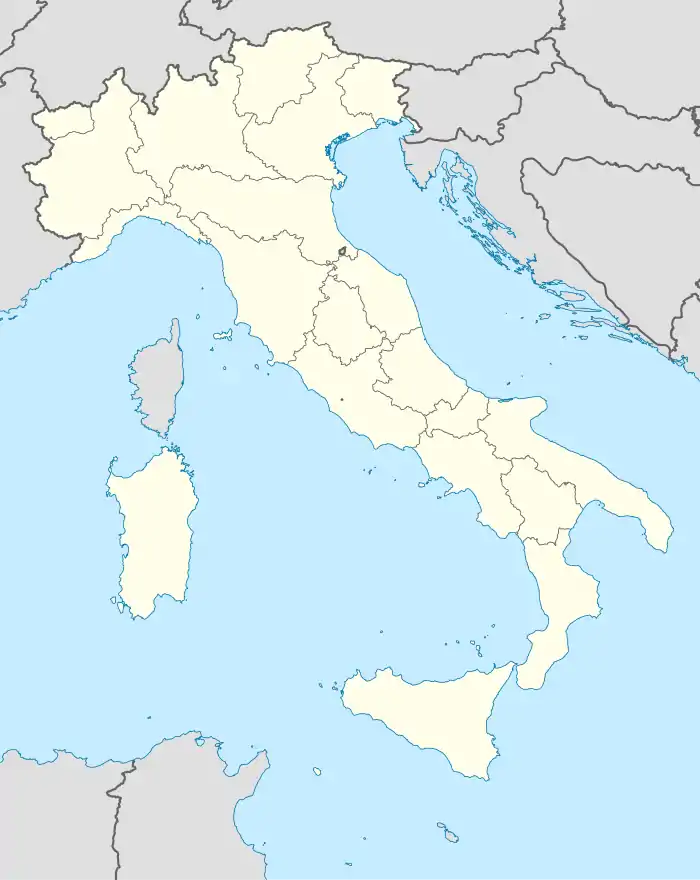
| Region | Piemont | |
| Provinz | Alessandria (AL) | |
| Koordinaten | 44° 46′ N, 9° 6′ O | |
| Höhe | 525 m s.l.m. | |
| Fläche | 23,71 km² | |
| Einwohner | 251 (31. Dez. 2019)[1] | |
| Postleitzahl | 15050 | |
| Vorwahl | 0131 | |
| ISTAT-Nummer | 006102 | |
| Volksbezeichnung | Monteacutesi | |
| Schutzpatron | San Fermo | |

Die Nachbargemeinden sind Albera Ligure, Cantalupo Ligure, Dernice, Fabbrica Curone, Gremiasco und San Sebastiano Curone.
Geographie
Der Ort liegt auf einer Höhe von 525 m über dem Meeresspiegel. Das Gemeindegebiet umfasst eine Fläche von 23,76 km².
Einzelnachweise
- Statistiche demografiche ISTAT. Monatliche Bevölkerungsstatistiken des Istituto Nazionale di Statistica, Stand 31. Dezember 2019.
Acqui Terme | Albera Ligure | Alessandria | Alfiano Natta | Alice Bel Colle | Alluvioni Piovera | Altavilla Monferrato | Alzano Scrivia | Arquata Scrivia | Avolasca | Balzola | Basaluzzo | Bassignana | Belforte Monferrato | Bergamasco | Berzano di Tortona | Bistagno | Borghetto di Borbera | Borgo San Martino | Borgoratto Alessandrino | Bosco Marengo | Bosio | Bozzole | Brignano-Frascata | Cabella Ligure | Camagna Monferrato | Camino | Cantalupo Ligure | Capriata d’Orba | Carbonara Scrivia | Carentino | Carezzano | Carpeneto | Carrega Ligure | Carrosio | Cartosio | Casal Cermelli | Casale Monferrato | Casaleggio Boiro | Casalnoceto | Casasco | Cassano Spinola | Cassine | Cassinelle | Castellania | Castellar Guidobono | Castellazzo Bormida | Castelletto Merli | Castelletto Monferrato | Castelletto d’Erro | Castelletto d’Orba | Castelnuovo Bormida | Castelnuovo Scrivia | Castelspina | Cavatore | Cella Monte | Cereseto | Cerreto Grue | Cerrina Monferrato | Coniolo | Conzano | Costa Vescovato | Cremolino | Denice | Dernice | Fabbrica Curone | Felizzano | Fraconalto | Francavilla Bisio | Frascaro | Frassinello Monferrato | Frassineto Po | Fresonara | Frugarolo | Fubine | Gabiano | Gamalero | Garbagna | Gavi | Giarole | Gremiasco | Grognardo | Grondona | Guazzora | Isola Sant’Antonio | Lerma | Lu e Cuccaro Monferrato | Malvicino | Masio | Melazzo | Merana | Mirabello Monferrato | Molare | Molino dei Torti | Mombello Monferrato | Momperone | Moncestino | Mongiardino Ligure | Monleale | Montacuto | Montaldeo | Montaldo Bormida | Montecastello | Montechiaro d’Acqui | Montegioco | Montemarzino | Morano sul Po | Morbello | Mornese | Morsasco | Murisengo | Novi Ligure | Occimiano | Odalengo Grande | Odalengo Piccolo | Olivola | Orsara Bormida | Ottiglio | Ovada | Oviglio | Ozzano Monferrato | Paderna | Pareto | Parodi Ligure | Pasturana | Pecetto di Valenza | Pietra Marazzi | Pomaro Monferrato | Pontecurone | Pontestura | Ponti | Ponzano Monferrato | Ponzone | Pozzol Groppo | Pozzolo Formigaro | Prasco | Predosa | Quargnento | Quattordio | Ricaldone | Rivalta Bormida | Rivarone | Rocca Grimalda | Roccaforte Ligure | Rocchetta Ligure | Rosignano Monferrato | Sala Monferrato | Sale | San Cristoforo | San Giorgio Monferrato | San Salvatore Monferrato | San Sebastiano Curone | Sant’Agata Fossili | Sardigliano | Sarezzano | Serralunga di Crea | Serravalle Scrivia | Sezzadio | Silvano d’Orba | Solero | Solonghello | Spigno Monferrato | Spineto Scrivia | Stazzano | Strevi | Tagliolo Monferrato | Tassarolo | Terruggia | Terzo | Ticineto | Tortona | Treville | Trisobbio | Valenza | Valmacca | Vignale Monferrato | Vignole Borbera | Viguzzolo | Villadeati | Villalvernia | Villamiroglio | Villanova Monferrato | Villaromagnano | Visone | Volpedo | Volpeglino | Voltaggio