Liste der Countys in Massachusetts
Der US-Bundesstaat Massachusetts ist in 14 Countys unterteilt.
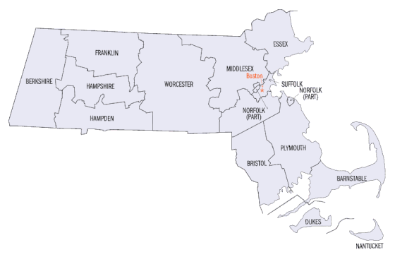
Karte der Countys in Massachusetts
| County | Einwohner (2020) |
Gesamtfläche (km²) |
Landfläche (km²) |
Bevölkerungsdichte (Einwohner / Landfläche) |
Verwaltungssitz |
|---|---|---|---|---|---|
| Barnstable | 228.996 | 3.382 | 1.025 | 223 | Barnstable |
| Berkshire | 129.026 | 2.451 | 2.412 | 53,5 | Pittsfield |
| Bristol | 579.200 | 1.790 | 1.440 | 402,2 | Taunton |
| Dukes | 20.600 | 1.272 | 269 | 76,6 | Edgartown |
| Essex | 809.829 | 2.146 | 1.297 | 624,4 | Salem Lawrence |
| Franklin | 71.029 | 1.877 | 1.818 | 39,1 | Greenfield |
| Hampden | 465.825 | 1.642 | 1.601 | 290 | Springfield |
| Hampshire | 162.308 | 1.413 | 1.371 | 118,4 | Northampton |
| Middlesex | 1.632.002 | 2.195 | 2.132 | 765,5 | Cambridge Lowell |
| Nantucket | 14.255 | 273 | 124 | 115 | Nantucket |
| Norfolk | 725.981 | 1.150 | 1.035 | 701,4 | Dedham |
| Plymouth | 530.819 | 2.832 | 1.712 | 310,1 | Brockton Plymouth |
| Suffolk | 797.936 | 311 | 151 | 5284,3 | Boston |
| Worcester | 862.111 | 4.090 | 3.919 | 220 | Worcester |
Weblinks
This article is issued from Wikipedia. The text is licensed under Creative Commons - Attribution - Sharealike. The authors of the article are listed here. Additional terms may apply for the media files, click on images to show image meta data.