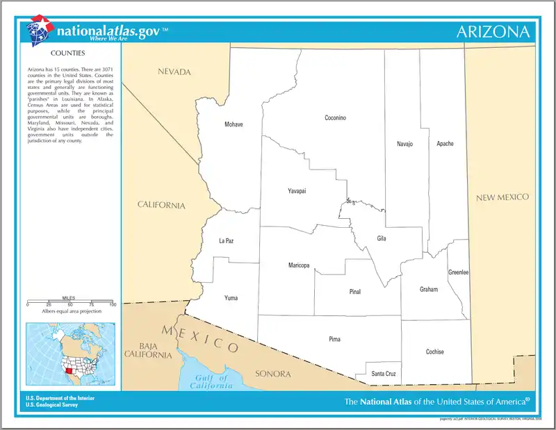
Liste der Countys in Arizona
Der US-Bundesstaat Arizona ist in 15 Countys unterteilt.
- Die folgenden Einwohnerzahlen sind laut dem United States Census Bureau nur geschätzt. Sie basieren nicht auf einer Zählung.
| County | FIPS-Code | Einwohner 1. Juli 2017 |
Fläche | Verwaltungssitz | Karte |
|---|---|---|---|---|---|
| Apache | 001 | 71.606 | 29.054 km² | St. Johns | 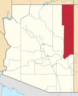 |
| Cochise | 003 | 124.756 | 16.107 km² | Bisbee | 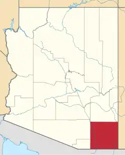 |
| Coconino | 005 | 140.776 | 48.332 km² | Flagstaff | 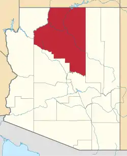 |
| Gila | 007 | 53.501 | 12.422 km² | Globe | 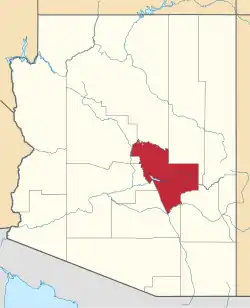 |
| Graham | 009 | 37.466 | 12.020 km² | Safford | 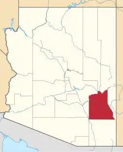 |
| Greenlee | 011 | 9.455 | 4.786 km² | Clifton | 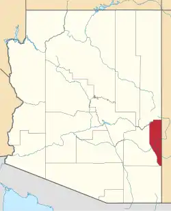 |
| La Paz | 012 | 20.601 | 11.689 km² | Parker | 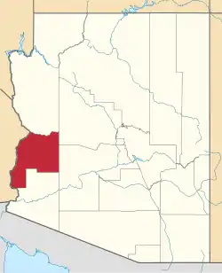 |
| Maricopa | 013 | 4.307.033 | 23.890 km² | Phoenix |  |
| Mohave | 015 | 207.200 | 34.887 km² | Kingman | 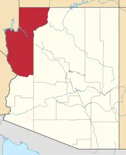 |
| Navajo | 017 | 108.956 | 25.794 km² | Holbrook | 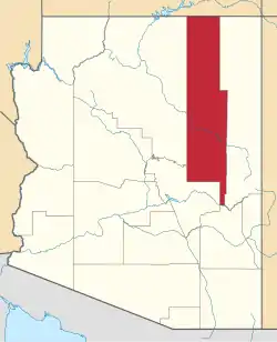 |
| Pima | 019 | 1.022.769 | 23.799 km² | Tucson | 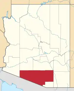 |
| Pinal | 021 | 430.237 | 13.919 km² | Florence | 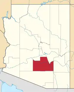 |
| Santa Cruz | 023 | 46.212 | 3.206 km² | Nogales | 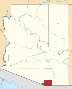 |
| Yavapai | 025 | 228.168 | 21.051 km² | Prescott | 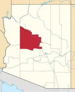 |
| Yuma | 027 | 207.534 | 14.294 km² | Yuma | 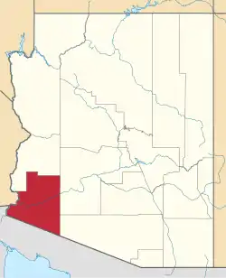 |
This article is issued from Wikipedia. The text is licensed under Creative Commons - Attribution - Sharealike. The authors of the article are listed here. Additional terms may apply for the media files, click on images to show image meta data.