Charles Mound
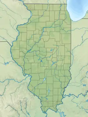
Der 376 Meter hohe Charles Mound ist die höchste natürliche Erhebung des US-Bundesstaates Illinois. Er befindet sich im Jo Daviess County, nur etwa 400 Meter von der Bundesstaatengrenze zu Wisconsin entfernt. Der Hügel ist zur Gänze bewaldet, auf seinem Gipfel steht eine Markierungstafel, welche Auskunft über ihn gibt.
| Charles Mound | ||
|---|---|---|
 | ||
| Höhe | 376 m | |
| Lage | Jo Daviess County, Illinois/Wisconsin, USA | |
| Gebirge | Upper Mississippi Area | |
| Dominanz | 4,02 km → Belmont Mound | |
| Schartenhöhe | 29 m | |
| Koordinaten | 42° 30′ 15″ N, 90° 14′ 23″ W | |
| ||
Weblinks
- Charles Mound auf Peakbagger.com (englisch)
- summitpost.org

Alabama | Alaska | Arizona | Arkansas | Colorado | Connecticut | Delaware | Florida | Georgia | Hawaii | Idaho | Illinois | Indiana | Iowa | Kalifornien | Kansas | Kentucky | Louisiana | Maine | Maryland | Massachusetts | Michigan | Minnesota | Mississippi | Missouri | Montana | Nebraska | Nevada | New Hampshire | New Jersey | New Mexico | New York | North Carolina | North Dakota | Ohio | Oklahoma | Oregon | Pennsylvania | Rhode Island | South Carolina | South Dakota | Tennessee | Texas | Utah | Vermont | Virginia | Washington | West Virginia | Wisconsin | Wyoming
Inselgebiete: Amerikanisch-Samoa | Guam | Minor Outlying Islands | Nördliche Marianen | Puerto Rico | Virgin Islands
Andere Gebiete: District of Columbia