Mount Arvon
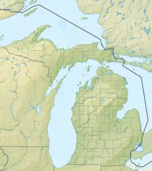
Der Mount Avron ist mit 603 Metern der höchste Punkt des US-Bundesstaates Michigan. Er befindet sich im am Oberen See gelegenen Baraga County, in den Huron Mountains.
| Mount Avron | ||
|---|---|---|

Gipfel | ||
| Höhe | 603 m | |
| Lage | L'Anse Township, Baraga County, Michigan | |
| Gebirge | Huron Mountains | |
| Dominanz | 198,32 km → Blueberry Hill (Minnesota) | |
| Schartenhöhe | 289 m ↓ Nördlich des Upper St. Croix Lake | |
| Koordinaten | 46° 45′ 20″ N, 88° 9′ 21″ W | |
| ||

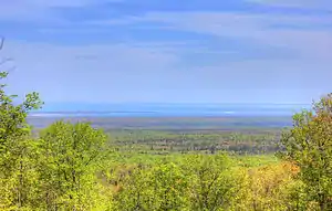
Aussicht auf Lake Superior sowie die Halbinseln Abbaye (Vordergrund) und Keweenaw | ||
This article is issued from Wikipedia. The text is licensed under Creative Commons - Attribution - Sharealike. The authors of the article are listed here. Additional terms may apply for the media files, click on images to show image meta data.

