Buttapietra
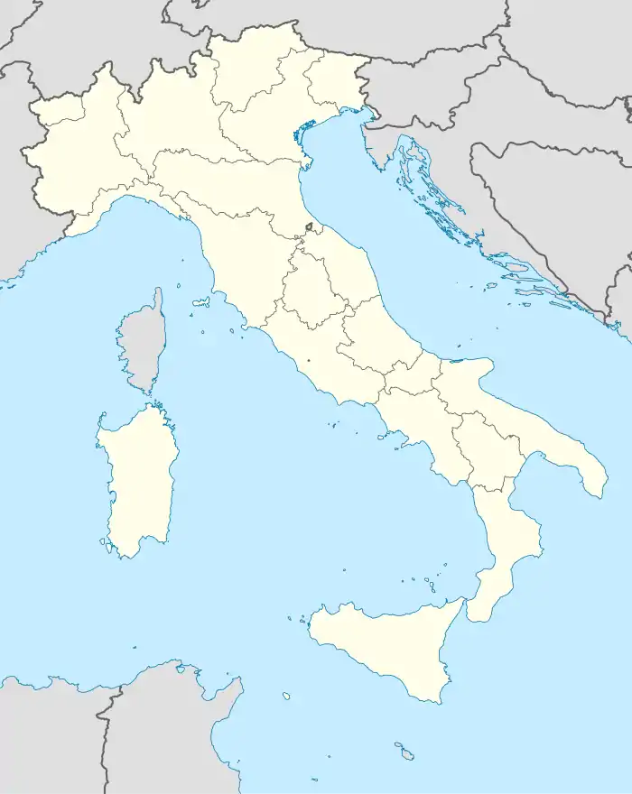
Buttapietra ist eine italienische Gemeinde (comune) mit 7035 Einwohnern (Stand 31. Dezember 2019) in der Provinz Verona in Venetien.
| Buttapietra | ||
|---|---|---|
 |
| |
| Staat | Italien | |
| Region | Venetien | |
| Provinz | Verona (VR) | |
| Lokale Bezeichnung | Butapiera | |
| Koordinaten | 45° 21′ N, 11° 0′ O | |
| Höhe | 38 m s.l.m. | |
| Fläche | 17,19 km² | |
| Einwohner | 7.035 (31. Dez. 2019)[1] | |
| Postleitzahl | 37060 | |
| Vorwahl | 045 | |
| ISTAT-Nummer | 023016 | |
| Volksbezeichnung | Buttapiertrini | |
| Schutzpatron | Santa Croce | |
| Website | comune.buttapietra.vr.it | |
Geographie
Die Gemeinde liegt etwa 11,5 Kilometer südlich von Verona am Fluss Menago.[2]
.jpg.webp)
Pfarrkirche Santa Croce
Verkehr
Buttapietra liegt an der Strada Statale 12 dell’Abetone e del Brennero von Verona nach Modena. Ein Bahnhof besteht an der Bahnstrecke Verona–Bologna.
Weblinks
Commons: Buttapietra – Sammlung von Bildern
Einzelnachweise
- Statistiche demografiche ISTAT. Monatliche Bevölkerungsstatistiken des Istituto Nazionale di Statistica, Stand 31. Dezember 2019.
- Dincer, Alper.: Google Maps API Cookbook. Packt Publishing, 2013, ISBN 978-1-84969-883-2.
This article is issued from Wikipedia. The text is licensed under Creative Commons - Attribution - Sharealike. The authors of the article are listed here. Additional terms may apply for the media files, click on images to show image meta data.

