Wellington Strait
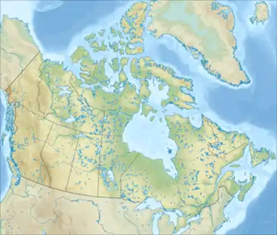
Die Wellington Strait (deutsch Wellington-Straße) ist eine Meerenge in der Provinz Nunavut im südlichen Teil des kanadisch-arktischen Archipels. Sie verläuft vor der Nordostküste von King William Island zwischen Tennent Island und Matty Island.
| Wellington Strait | ||
|---|---|---|
| Verbindet Gewässer | James Ross Strait | |
| mit Gewässer | Rae Strait | |
| Trennt Landmasse | Tennent Island | |
| von Landmasse | Matty Island | |
| Daten | ||
| Geographische Lage | 69° 28′ N, 95° 59′ W | |
| ||
| Länge | 27 km | |
| Geringste Breite | 4 km | |
Die Meerenge wurde von John Ross während seiner Expedition von 1829 bis 1833 entdeckt und nach Arthur Wellesley, 1. Duke of Wellington benannt.[1]
Weblinks
- Wellington Strait. www.nrcan.gc.ca, abgerufen am 20. Oktober 2015 (englisch).
Einzelnachweise
- Johann Jakob Egli: Nomina geographica. Friedrich Brandstetter, Leipzig 1872. S. 619.
Alexandra Strait | Arnott Strait | Austin Channel | Barrow Strait | Beare Sound | Belcher-Kanal | Bellotstraße | Boyer Strait | Byam Channel | Byam Martin Channel | Cardigan Strait | Clarke Sound | Comer Strait | Coronation Gulf | Crozier Strait | Danish Strait | Davisstraße | Dease Strait | Desbarats Strait | Digges Sound | Dolphin and Union Strait | Erskine Inlet | Eureka Sound | Evans Strait | Fisher Strait | Foxe-Kanal | Franklin Strait | Frozen Strait | Fury-und-Hecla-Straße | Glacier Strait | Goldsmith Channel | Hall-Becken | Hassel Sound | Hazen Strait | Hendriksen Strait | Hoppner Strait | Hudsonstraße | Humboldt Channel | James Ross Strait | Jonessund | Kennedy-Kanal | Lady Ann Strait | Lancastersund | Larsen Sound | Maclean Strait | Massey Sound | Maury Channel | McClintock-Kanal | McDougall-Sund | Melvillesund | Nansen Sound | Nares-Straße | Parry Channel | Pearse Strait | Peary Channel | Peel Sound | Penny Strait | Prince Regent Inlet | Pullen Strait | Queen Maud Gulf | Queens Channel | Rae Strait | Rasmussen Basin | Rice Strait | Robeson-Kanal | Roes Welcome Sound | Simpson Strait | Sir William Parker Strait | Smithsund | Sverdrup-Kanal | Tasiujaq | Victoria Strait | Viscount-Melville-Sund | Wellington Channel | Wellington Strait | Wilkins Strait