Comer Strait
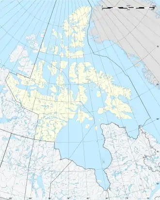
Die Comer Strait ist eine schmale Wasserstraße, die die nordöstliche Spitze von Southampton Island von der westlichen Küste von White Island im Foxe Basin von Nunavut trennt. Sie ist auch der westliche Eingang zur Duke of York Bay.[1]
| Comer Strait | ||
|---|---|---|
| Verbindet Gewässer | Roes Welcome Sound | |
| mit Gewässer | Duke of York Bay | |
| Trennt Landmasse | Southampton Island | |
| von Landmasse | White Island | |
| Daten | ||
| Geographische Lage | 65° 45′ N, 85° 7′ W | |
| ||
| Länge | 17 km | |
| Geringste Breite | 1,4 km | |
Die Comer Strait wurde nach dem amerikanischen Walfänger George Comer benannt.[2]
Einzelnachweise
- Graham W. Rowley: Cold Comfort: My Love Affair with the Arctic. McGill-Queen's Press - MQUP, 1996, ISBN 978-0-7735-6591-3 (google.de [abgerufen am 5. November 2021]).
- George Comer: An Arctic whaling diary : the journal of captain George Comer in Hudson Bay, 1903-1905. Toronto : University of Toronto Press, 1984, ISBN 978-0-8020-5618-4 (archive.org [abgerufen am 5. November 2021]).
Alexandra Strait | Arnott Strait | Austin Channel | Barrow Strait | Beare Sound | Belcher-Kanal | Bellotstraße | Boyer Strait | Byam Channel | Byam Martin Channel | Cardigan Strait | Clarke Sound | Comer Strait | Coronation Gulf | Crozier Strait | Danish Strait | Davisstraße | Dease Strait | Desbarats Strait | Digges Sound | Dolphin and Union Strait | Erskine Inlet | Eureka Sound | Evans Strait | Fisher Strait | Foxe-Kanal | Franklin Strait | Frozen Strait | Fury-und-Hecla-Straße | Glacier Strait | Goldsmith Channel | Hall-Becken | Hassel Sound | Hazen Strait | Hendriksen Strait | Hoppner Strait | Hudsonstraße | Humboldt Channel | James Ross Strait | Jonessund | Kennedy-Kanal | Lady Ann Strait | Lancastersund | Larsen Sound | Maclean Strait | Massey Sound | Maury Channel | McClintock-Kanal | McDougall-Sund | Melvillesund | Nansen Sound | Nares-Straße | Parry Channel | Pearse Strait | Peary Channel | Peel Sound | Penny Strait | Prince Regent Inlet | Pullen Strait | Queen Maud Gulf | Queens Channel | Rae Strait | Rasmussen Basin | Rice Strait | Robeson-Kanal | Roes Welcome Sound | Simpson Strait | Sir William Parker Strait | Smithsund | Sverdrup-Kanal | Tasiujaq | Victoria Strait | Viscount-Melville-Sund | Wellington Channel | Wellington Strait | Wilkins Strait