Shongopovi
Shongopovi (Hopi: Songòopavi) ist ein Census-designated place im Navajo County im US-Bundesstaat Arizona. Shongopovi hat 632 Einwohner auf einer Fläche von 4,4 km². Er liegt in der Navajo Nation und wird von der Arizona State Route 264 tangiert.
| Shongopovi | |
|---|---|
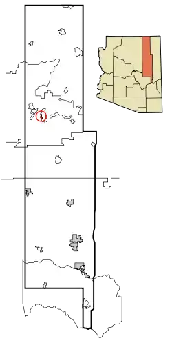 Lage im County und in Arizona | |
| Basisdaten | |
| Staat: | Vereinigte Staaten |
| Bundesstaat: | Arizona |
| County: | Navajo County |
| Koordinaten: | 35° 49′ N, 110° 32′ W |
| Einwohner: | 711 (Stand: 2020) |
| Fläche: | 4,4 km² (ca. 2 mi²) davon 4,4 km² (ca. 2 mi²) Land |
| Höhe: | 1933 m |
| Postleitzahl: | 86043 |
| Vorwahl: | +1 928 |
| FIPS: | 04-66190 |
| GNIS-ID: | 1866992 |
This article is issued from Wikipedia. The text is licensed under Creative Commons - Attribution - Sharealike. The authors of the article are listed here. Additional terms may apply for the media files, click on images to show image meta data.