First Mesa
First Mesa (Hopi: Wàlpi) ist ein Census-designated place im Navajo County im US-Bundesstaat Arizona.
| First Mesa | |
|---|---|
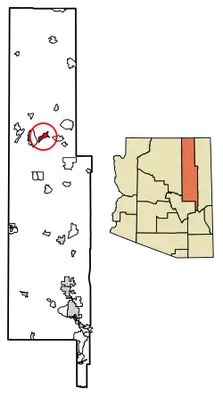 Lage im Navajo County und in Arizona | |
| Basisdaten | |
| Staat: | Vereinigte Staaten |
| Bundesstaat: | Arizona |
| County: | Navajo County |
| Koordinaten: | 35° 50′ N, 110° 23′ W |
| Zeitzone: | Mountain Standard Time (UTC−7) |
| Einwohner: | 1.352 (Stand: 2020) |
| Fläche: | 24,3 km² (ca. 9 mi²) |
| Höhe: | 1771 m |
| Postleitzahl: | 86042 |
| Vorwahl: | +1 928 |
| FIPS: | 04-23512 |
| GNIS-ID: | 1853158 |
Der Ort hat 1124 Einwohner auf einer Fläche von 24,4 km². Er liegt im Hopi-Indianerreservat und wird von der Arizona State Route 264 tangiert.
Bildung
First Mesa liegt im Cedar Unified School District. Mit der White Cone High School besitzt First Mesa eine eigene High School.
Weblinks
Commons: First Mesa – Sammlung von Bildern, Videos und Audiodateien
This article is issued from Wikipedia. The text is licensed under Creative Commons - Attribution - Sharealike. The authors of the article are listed here. Additional terms may apply for the media files, click on images to show image meta data.