Santa Barbara (Pangasinan)
Santa Barbara ist eine Stadtgemeinde in der philippinischen Provinz Pangasinan auf der Insel Luzon und liegt im ausgedehnten Stromgebiet des Agno. Im Jahre 2015 wohnten in dem 65,48 km² großen Gebiet 82.012 Menschen, wodurch sich eine Bevölkerungsdichte von 1252 Einwohnern pro km² ergibt. Der überwiegende Teil der Bevölkerung lebt von der Landwirtschaft.
| Municipality of Santa Barbara | |||
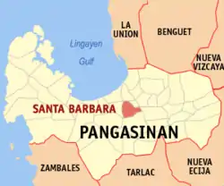
| Lage von Santa Barbara in der Provinz Pangasinan | |||
|---|---|---|---|
 | |||
| Basisdaten | |||
| Region: | Ilocos-Region | ||
| Provinz: | Pangasinan | ||
| Barangays: | 29 | ||
| Distrikt: | 3. Distrikt von Pangasinan | ||
| PSGC: | 015538000 | ||
| Einkommensklasse: | 1. Einkommensklasse | ||
| Haushalte: | 12.111 Zensus 1. Mai 2000 | ||
| Einwohnerzahl: | 82.012 Zensus 1. August 2015 | ||
| Bevölkerungsdichte: | 1252 Einwohner je km² | ||
| Fläche: | 65,48 km² | ||
| Koordinaten: | 16° 0′ N, 120° 24′ O | ||
| Postleitzahl: | 2419 | ||
| Bürgermeister: | Reynaldo V. Velasco | ||
| Website: | http://pangasinan.org/santabarbara/ | ||
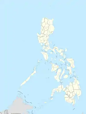
| Geographische Lage auf den Philippinen | |||
| |||
Santa Barbara ist in folgende 29 Baranggays (Stadtteile) aufgeteilt:
|
|
|
Weblinks
Commons: Santa Barbara, Pangasinan – Sammlung von Bildern, Videos und Audiodateien

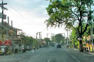
Typisches Straßenbild in Santa Barbara
This article is issued from Wikipedia. The text is licensed under Creative Commons - Attribution - Sharealike. The authors of the article are listed here. Additional terms may apply for the media files, click on images to show image meta data.
