Parks (Arizona)
Parks ist ein Census-designated place im Coconino County im US-Bundesstaat Arizona mit etwa 1100 Einwohnern (Stand: Volkszählung 2000) auf einer Fläche von 446,3 km². Die Bevölkerungsdichte liegt bei 2,5/km². Südlich der Stadt verläuft die Interstate 40.
| Parks | |
|---|---|
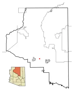 Lage in Arizona | |
| Basisdaten | |
| Staat: | Vereinigte Staaten |
| Bundesstaat: | Arizona |
| County: | Coconino County |
| Koordinaten: | 35° 17′ N, 111° 58′ W |
| Zeitzone: | Mountain Standard Time (UTC−7) |
| Einwohner: | 1.382 (Stand: 2020) |
| Fläche: | 446,2 km² (ca. 172 mi²) davon 446,2 km² (ca. 172 mi²) Land |
| Höhe: | 2158 m |
| Postleitzahl: | 86018 |
| Vorwahl: | +1 928 |
| FIPS: | 04-53350 |
| GNIS-ID: | 0032699 |
Weblinks
Commons: Parks (Arizona) – Sammlung von Bildern, Videos und Audiodateien
This article is issued from Wikipedia. The text is licensed under Creative Commons - Attribution - Sharealike. The authors of the article are listed here. Additional terms may apply for the media files, click on images to show image meta data.