Tonalea
Tonalea (Navajo: Tó Nehelį́į́h) ist ein Census-designated place im Coconino County im US-Bundesstaat Arizona. Tonalea hat 562 Einwohner auf einer Fläche von 25 km². Er liegt auf 1722 m und wird vom U.S. Highway 160 tangiert.
| Tonalea | |
|---|---|
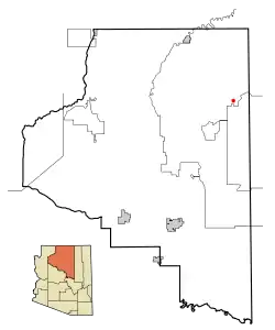 Lage im County und in Arizona | |
| Basisdaten | |
| Staat: | Vereinigte Staaten |
| Bundesstaat: | Arizona |
| County: | Coconino County |
| Koordinaten: | 36° 19′ N, 110° 58′ W |
| Einwohner: | 451 (Stand: 2020) |
| Fläche: | 25,1 km² (ca. 10 mi²) davon 25,0 km² (ca. 10 mi²) Land |
| Höhe: | 1722 m |
| Postleitzahlen: | 86044, 86053 |
| Vorwahl: | +1 928 |
| FIPS: | 04-74470 |
| GNIS-ID: | 1853169 |
| Website: | tonalea.navajochapters.org |
Weblinks
Commons: Tonalea – Sammlung von Bildern, Videos und Audiodateien
This article is issued from Wikipedia. The text is licensed under Creative Commons - Attribution - Sharealike. The authors of the article are listed here. Additional terms may apply for the media files, click on images to show image meta data.