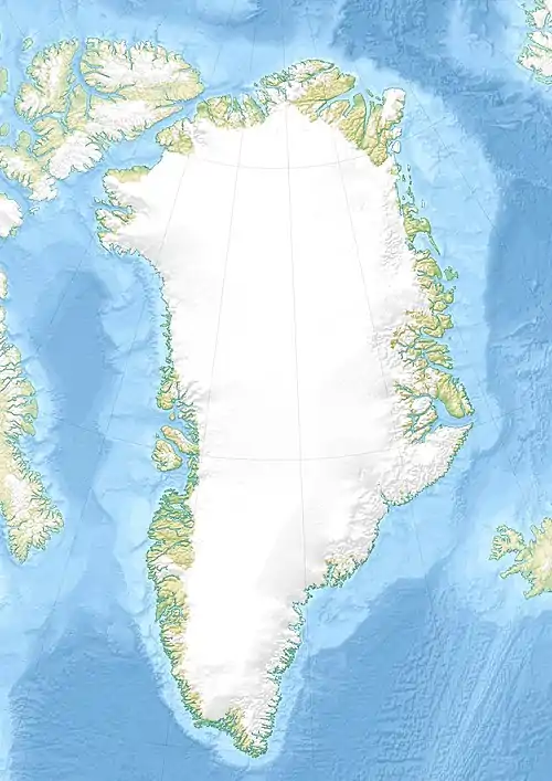
Itilliatsiaq (Nanortalik)
Itilliatsiaq [iˈtˢiɬːiˌat͡siɑq] (nach alter Rechtschreibung Itivdliatsiaĸ) ist eine wüst gefallene grönländische Siedlung im Distrikt Nanortalik in der Kommune Kujalleq.
| Itilliatsiaq | ||
|---|---|---|
| Itivdliatsiaĸ | ||
| Kommune | Kommune Kujalleq | |
| Distrikt | Nanortalik | |
| Geographische Lage | 60° 6′ 6″ N, 45° 3′ 11″ W | |
| ||
| Einwohner | 0 (1950) | |
| Gründung | 1941 | |
| Zeitzone | UTC-3 | |
Lage
Itilliatsiaq liegt an einer Landenge zwischen dem Fjord Itilliatsiaap Torsukattaa und der Bucht Itilliatsiaap Kujataatungaa auf einer Halbinsel am Ausgang des Tasermiut Kangerluat. Auf der anderen Fjordseite liegt elf Kilometer nordwestlich Nanortalik.[1]
Geschichte
Itilliatsiaq war eine kurzweilige Ansiedlung. Zwischen 1941 und 1949 lebten rund 20 Personen an dem Ort.[2]
Einzelnachweise
- Karte mit allen offiziellen Ortsnamen bestätigt vom Oqaasileriffik, bereitgestellt von Asiaq
- Jens Christian Madsen: Udsteder og bopladser i Grønland 1901–2000. Atuagkat, 2009, ISBN 978-87-90133-76-4, S. 55 f.
This article is issued from Wikipedia. The text is licensed under Creative Commons - Attribution - Sharealike. The authors of the article are listed here. Additional terms may apply for the media files, click on images to show image meta data.

