Shamattawa
Shamattawa ist eine kleine Gemeinde im Norden der kanadischen Prärieprovinz Manitoba.
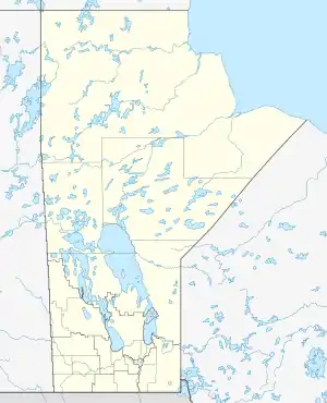
| Shamattawa | |||
|---|---|---|---|
| Lage in Manitoba | |||
| |||
| Staat: | |||
| Provinz: | Manitoba | ||
| Koordinaten: | 55° 52′ N, 92° 5′ W | ||
| Höhe: | 76 m | ||
| Fläche: | 21,6 km² | ||
| Einwohner: | 920 (Stand: 2006) | ||
| Bevölkerungsdichte: | 42,6 Einw./km² | ||
| Zeitzone: | Central Time (UTC−6) | ||
| Postleitzahl: | R0B 1K0 | ||
Die Ortschaft befindet sich am Ufer des Flusses Gods River an der Mündung des Echoing River, etwa 750 km nördlich der Hauptstadt von Manitoba, Winnipeg. Außer Shamattawa findet man in einiger Entfernung auch die Gemeinde Gods River, ebenfalls eine indianische First-Nations-Gemeinde, die am Ufer von Gods Lake liegt, wo der Fluss Gods River entspringt.
Die Siedlung verfügt über eine Schule, die Abraham Beardy Memorial School.
Shamattawa ist nur schwer zugänglich, es gibt so gut wie keine Straßen, nur im Winter gibt es befahrbare Eispisten. Es besteht jedoch eine Verbindung über den Flughafen Shamattawa.
Quellen
- Shamattawa auf Natural Resources Canada, online auf: rncan.gc.ca/
- Shamattawa auf INAC, First Nation Detail, online auf: pse5-esd5.ainc-inac.gc.ca/
- Abraham Beardy Memorial School, Website von Manitoba First Nations Education Resource Centre Inc. (MFNERC), online auf: mfnerc.org/
This article is issued from Wikipedia. The text is licensed under Creative Commons - Attribution - Sharealike. The authors of the article are listed here. Additional terms may apply for the media files, click on images to show image meta data.