Sansare
Sansare ist ein rund 3.500 Einwohner zählender Ort und ein Municipio im Departamento El Progreso in Guatemala. Er liegt etwa 70 km nordöstlich von Guatemala-Stadt und 20 km südwestlich von Guastatoya auf 790 m Höhe. Der Ort liegt an der Nationalstraße 19, die in Monte Grande bei Sanarate von der Atlantikfernstraße CA 9 nach Südosten abzweigt und bis nach Jalapa und Jutiapa führt.
| Sansare | ||
|---|---|---|
|
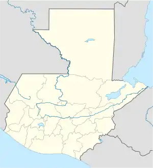
Sansare auf der Karte von Guatemala | ||
| Basisdaten | ||
| Staat | Guatemala | |
| Departamento | El Progreso | |
| Einwohner | 11.124 (2002) | |
| – im Ballungsraum | 3000 | |
| Detaildaten | ||
| Fläche | 118 km2 | |
| Bevölkerungsdichte | 94 Ew./km2 | |
| Höhe | 790 m | |
| Zeitzone | UTC−6 | |
| Stadtpatron | Virgen de las Mercedes | |
Das 118 km² große Municipio erstreckt sich im südlichen Hügelland von El Progreso. Es hat insgesamt etwa 13.000 Einwohner, von denen ein Großteil in ländlichen Siedlungen und Dörfern lebt, darunter Buena Vista, El Aguaje, El Llano, Estación Jalapa, La Montañita, Las Cabezas, La Trinidad, Los Cerritos, Poza Verde, Quebrada Grande, Río Grande Arriba, Río Grande Abajo, San Felipe Las Tablas, Santa Bárbara und El Juez.
Angrenzende Municipios sind Guastatoya im Norden und Sanarate im Westen. Im Süden und Osten grenzt Sansare an das Departamento Jalapa.
Das Municipio Sansare gehörte bis zum Jahr 1872 zum Departamento Guatemala und bis 1908 zu Jalapa.
Weblinks
- Offizielle Webseiten (Span.)
- Detaillierte Informationen (Span.)